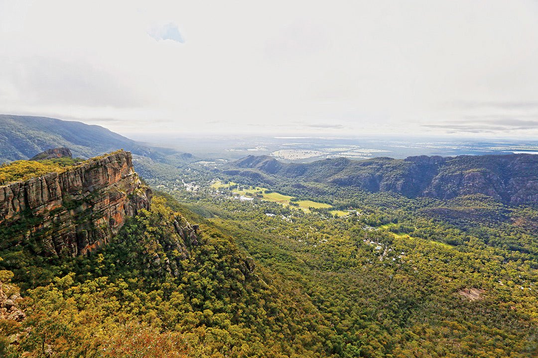

Covering more than 167,000 hectares, the Grampians is one of the largest and most popular national parks in Victoria.
The Grampians National Park straddles a brace of spectacular sandstone ranges in central-western Victoria, bounded by highways that connect the towns of Horsham, Stawell, Ararat, Dunkeld and Hamilton. Covering more than 167,000 hectares, the Grampians is one of the largest and most popular national parks in Victoria. In 2006, it was inscribed on Australia’s National Heritage List for its Indigenous cultural assets, dramatic landforms and rich natural diversity.
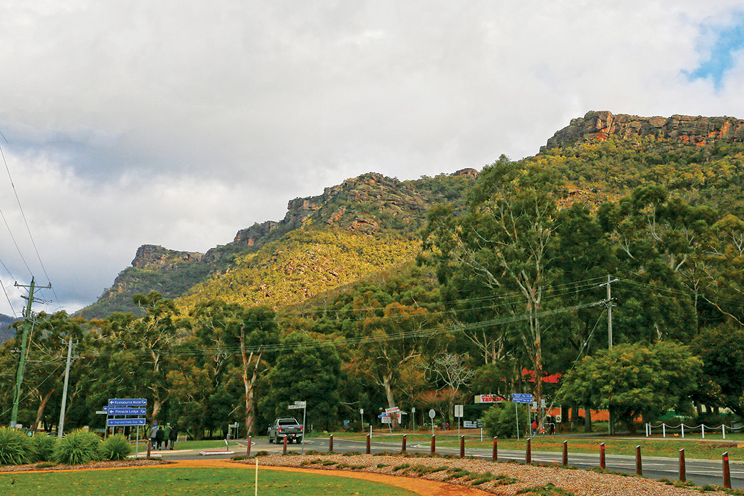
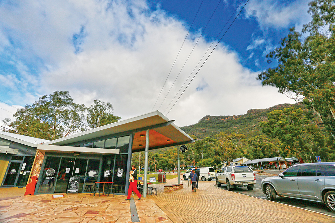
Known to the local Jardwadjali Aboriginal people as ‘Gariwerd’ (pointed mountains), the ranges were given their European name by explorer Thomas Mitchell in 1836 after their highland counterpart in his native Scotland. Nestled in a valley on the banks of Fyans Creek, the pleasant village of Halls Gap is the local hub for tourists and day-trippers who flock to the ranges for outdoor adventuring that includes hiking, rock climbing, camping and aquatic sports on lakes and reservoirs.
The physical landscape
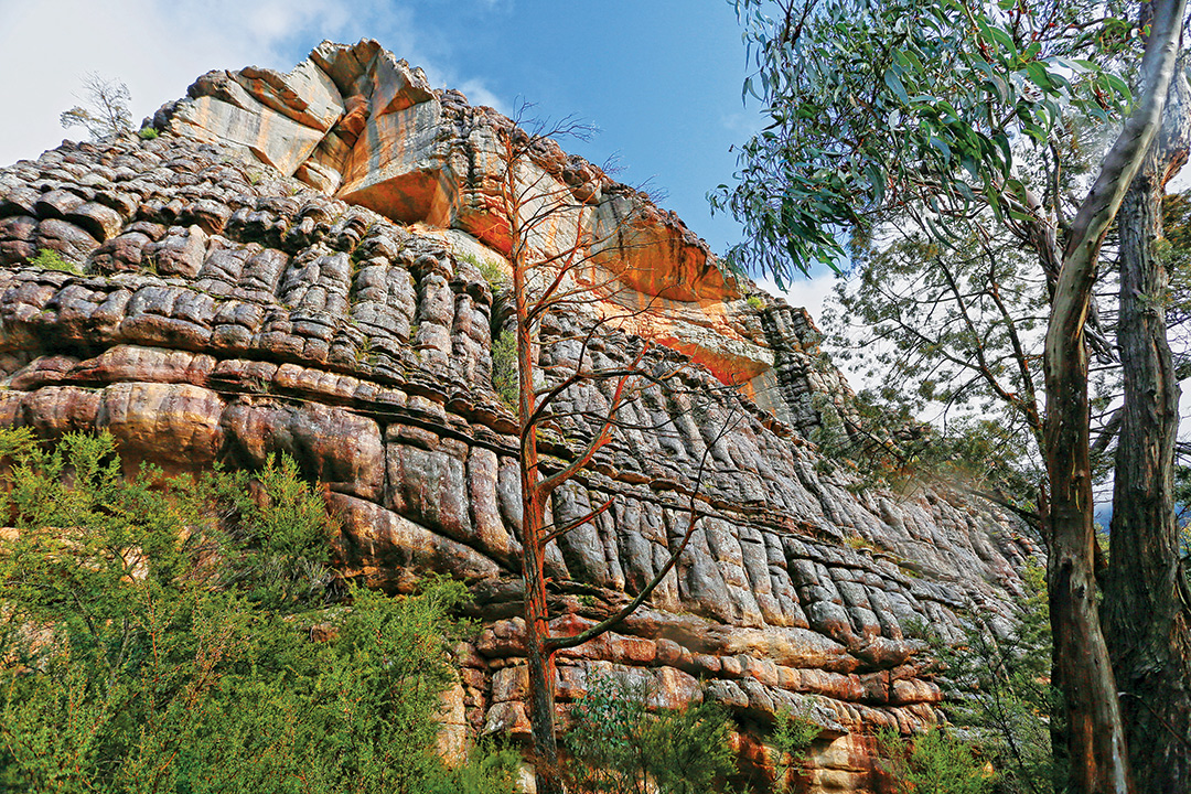
The Grampians’ geological fabric began forming about 430 million years ago when sand, silt and mud were laid down to a depth of 7km on the floor of an ancient sea. Pressure and heat transformed these sediments into layers of rock that were later warped and titled by tectonic forces and intruded by veins of volcanic granite.
Weathering of softer sediments and erosion along fault lines sculpted the Grampians into a series of north-south orientated ridges with long western slopes rising to escarpments that plunge steeply off their eastern edges. The highest of the park’s craggy peaks is Mount William (1168m), which towers over a spectacular landscape of massive cliffs, deeply fissured plateaux and rocky outcrops that contrast markedly with the surrounding Mallee and Wimmera plains.
The Grampians collect abundant rainfall and almost three-quarters of the park is designated as a Special Water Supply Catchment Area. Between the ridges, heavily timbered valleys embrace creeks that rush across sandstone terraces and majestic cascades to feed tributaries of several rivers — the Wannon, Glenelg, Wimmera and Hopkins — and fill man-made reservoirs. High-quality water harvested from the Grampians supplies towns and farms in the Wimmera Mallee districts and is fundamental to their economies.
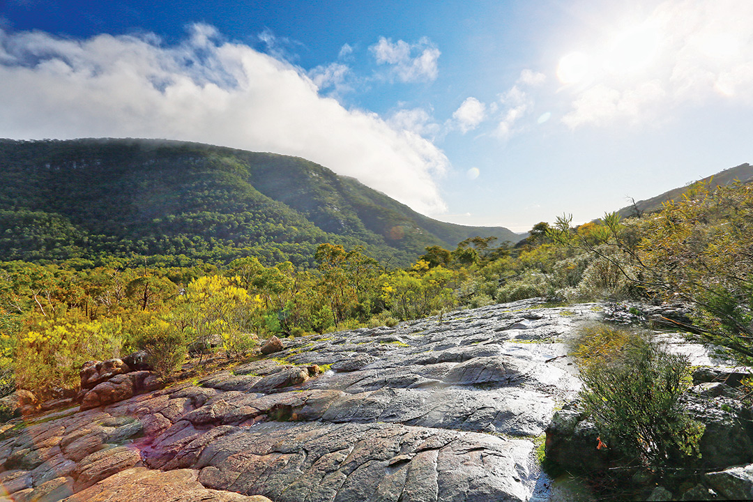
Several waterfalls make interesting highlights for bushwalks and scenic drives through the central ranges. MacKenzie Falls is one of the largest and most spectacular waterfalls in Victoria and the only one in the Grampians that flows all year round. Other beautiful cascades include Silverband, Broken and Fish Falls that showcase the impressive terraces and rock formations within their gorges.
The natural environment
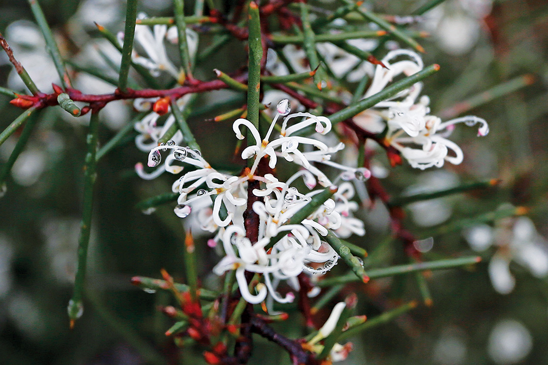
The Grampians experience cool wet winters and hot dry summers, a varied climate that supports a wide range of plant communities, including eucalypt forests, heathlands, grassy plains and fern gullies. Known as the ‘Garden of Victoria’, the ranges are revered for their natural beauty and harbour 975 native plant species — one-third of the state’s total flora — many of which are rare or threatened and found only within the national park. Notable among this floral panoply are 75 kinds of orchids and an array of wildflowers that provide a colourful display in spring.
The varied topography and diverse plant communities provide habitats for a host of native animal species: 230 birds, 40 mammals, 30 reptiles, 11 amphibians and six native fish. Of these, 50 are classified as threatened and are afforded special protection by state legislation and international agreements.
Indigenous culture
Gariwerd lies within the traditional lands of the Jardwadjali and Djab Wurrung Aboriginal people, who lived in the ranges for at least 22,000 years before the arrival of Europeans. Evidence of their presence exists at many sites, especially rock shelters, which contain hearths, grind stones, implements and scattered quartz flakes. Elsewhere, quarries and scarred trees speak of artisanship in stone and wood. As well as meeting their physical needs, the mountains were an integral part of a Dreaming culture featuring the great ancestor spirit Bunjil, who created much of the landscape in western Victoria.
The rich tapestry of Indigenous life and culture is displayed in ancient Aboriginal rock art paintings at 200 known sites in and around the mountains. Comprising an estimated 90 per cent of the state’s rock art, Gariwerd is believed to contain the largest concentration of Indigenous paintings in southern Australia. The artworks depict more than 4,000 different motifs, including human figures and hands, animal tracks and birds.
Some of the most notable sites are accessible by the public: Gulgurn Manja (Flat Rock) and Ngamadjidj (Cave of Ghosts) in the northern Grampians, Manja (Cave of Hands) and Billimina Shelter in the west, Jananginj Njani (Camp of the Emu's Foot), Manja Larngibunja (Cave of Fishes), and Bunjil's Shelter near Stawell.
European history
Major Thomas Mitchell was the first European to explore the Grampians during his 1836 expedition in western Victoria. Though generally unsuitable for farming, Mitchell’s reports on the area soon attracted drovers and settlers for grazing cattle. The first of these was Charles Browning Hall who established a run in 1841 where Lake Bellfield Reservoir is now located. By following aboriginal tracks, he discovered the gap in the ranges which now bears his name. Roses Gap is named after Philip Rose who took over Hall's run in 1842.
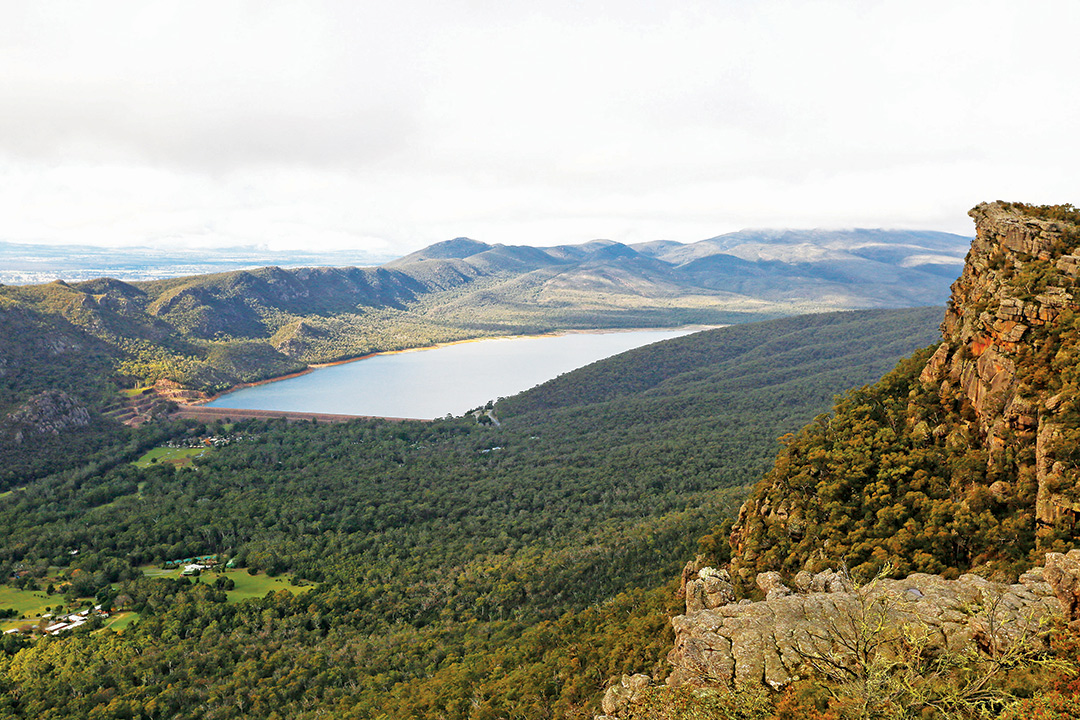
Not surprisingly, settlers found it difficult to graze cattle in the mountainous terrain and exploitation of the ranges switched to their natural resources of timber, stone, water and gold. Timber-getting and sawmilling began in the early 1870s, harvesting the abundant hardwoods for railway sleepers, construction lumber and fencing. After the national park was declared in 1984, timber operations were phased out and eventually ceased 10 years later. In the late 1870s, the Mount Difficult (Heatherlie) Quarry was opened north of Halls Gap, producing high-quality sandstone for major public works and civic buildings in Stawell and Melbourne. The site contains many relics from this era and is included on the Victorian Heritage Register.
In 1875, the borough engineer, John D'Alton, embarked on a project to supply Stawell with water from the Grampians. The system was completed over the next six years, incorporating a weir on Fyans Creek from which water was conveyed by a network of flumes, pipelines and a tunnel cut through the Mount William Range.
At the south-eastern edge of the national park, the locality of Mafeking was the site of Victoria’s last gold rush in 1900. For 12 years after timber splitters first discovered alluvial gold in a gully, prospectors worked claims over the surrounding creeks that yielded a ton of gold worth an estimated 100,000 pounds. A leisurely walk around the overgrown streets of the former township reveals the well-preserved remains of the diggings and hydraulic sluicing at Brownings mine site.
Tourism and recreation
Tourism in the Grampians has its roots in the 1890s with the construction of holiday homes and guest houses and the creation of a camping reserve. The mountains’ popularity as a tourist destination was enhanced during the 1920s by the extension of railways to Stawell, Ararat and Dunkeld, and the construction of roads to accommodation and recreation facilities at Halls Gap.
In 1923, naturalist and beekeeper Walter Zumstein opened a retreat for holidaymakers on the banks of the Mackenzie River. Today, Zumsteins Historic Area is one of the best attractions along Mt Victory Road, with picnic shelters and barbecues, walking trails and interpretive signs to guide visitors through the scenic grounds of the old settlement.
The Grampians continues to draw tourists — estimated at more than 1.3 million annually — for a wide range of outdoor recreational activities including bushwalking, camping, scenic driving, rock climbing and fishing.
The national park is permeated by numerous walking trails spanning scores of kilometres, ranging from short strolls to suit young families to multi-day treks for fit and experienced hikers.
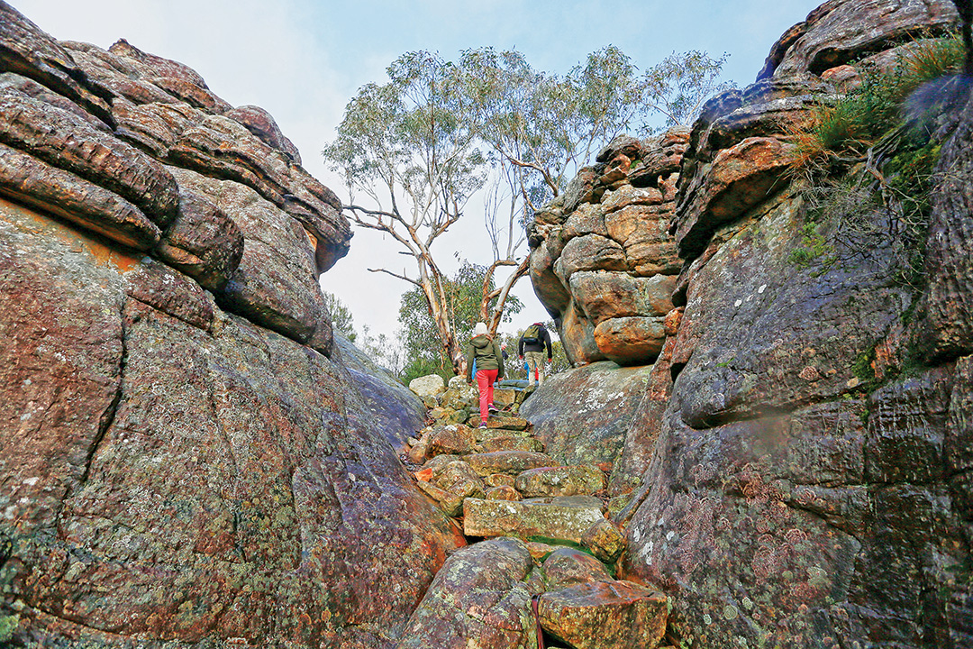
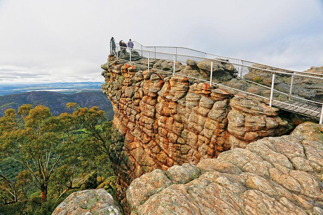
Close to the tourist hub at Halls Gap, day walks explore the aptly named Wonderland Range to the Grand Canyon, Bridal Veil Falls, the Pinnacle (715m), the Balconies and Mackenzie Falls. Medium length walks to Sundial Peak and Mount Rosea thread through open forest decked in spring wildflowers, up the Grand Stairway to the Gate of the East Wind and lookouts with panoramic views of the Fyans Creek valley and Lake Bellfield.
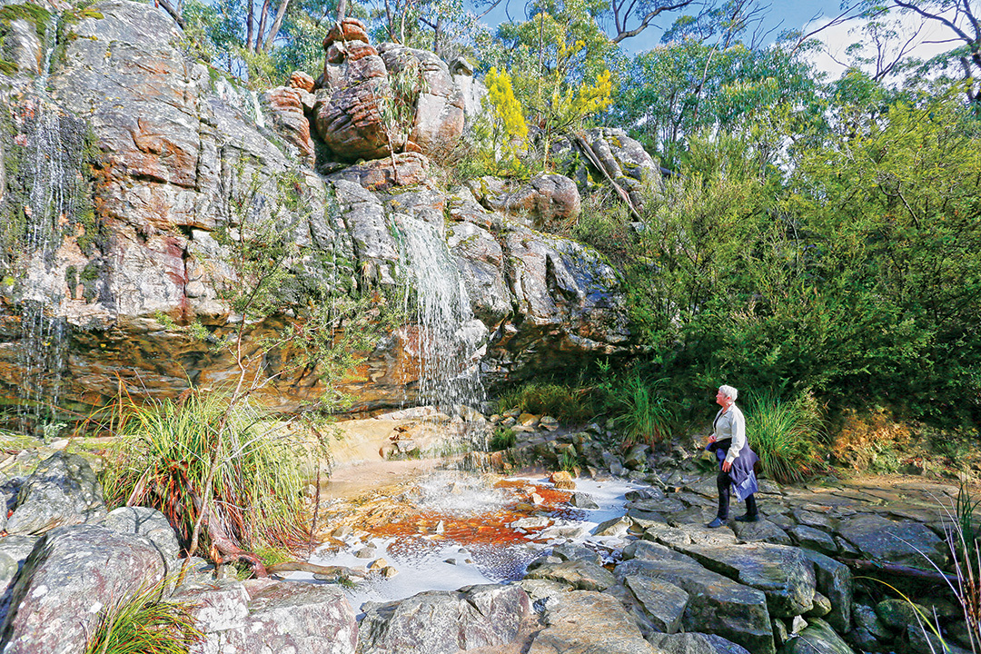
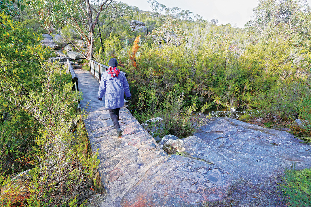
In the Mount Difficult Range of the Northern Grampians easy walks access several Aboriginal rock art sites, while more challenging day walks climb to several exposed mountain peaks. The Mount Stapylton track meanders through forested gullies and scrambles over rocky outcrops to the summit with sweeping views over the ranges to the south.
The Southern Grampians, incorporating the Mount William, Serra and Victoria Ranges, offer short walks to Aboriginal rock shelters and harder bushwalks through remote and rugged terrain. The ascent of Mount William is made easier by a sealed road that reaches almost to the top, leaving a short, steep walk through stunted, sub-alpine vegetation to a windswept pinnacle with a 360-degree view of the jagged ranges and open plains.
For those inclined to less strenuous pastimes, swimming, boating and canoeing are available at Lake Wartook, Lake Bellfield and Moora Moora Reservoir. Fishing is also very popular in the reservoirs or in one of the park’s many streams and creeks.
The Grampians’ folded terrain, forested slopes and breathtaking views make these ranges an excellent venue for scenic driving. An extensive network of bitumen roads and unsealed tracks make touring in the national park easy and enjoyable. Main roads provide 2WD access to all the major attractions for most of the year and different routes through scenic corridors can be combined to fill a day of driving pleasure with picnic and walking stops along the way.
There are also plenty of opportunities to head off the beaten track and explore the more remote and less-visited areas of the park. Most 4WD tracks in the ranges are rated medium and while they are not difficult or challenging in dry conditions, they may become so after rain. Some roads are seasonally closed, generally from mid-June to the end of October, or may be temporarily inaccessible due to unpredictable weather. Before heading offroad, it’s a good idea to check on current road conditions at the national park office or visitor centre in Halls Gap.
Camping and accommodation
To get the most out of a trip to the Grampians, you’ll need to spend a few days to fully explore its many attractions, and visitors are spoilt for choice when it comes to overnight accommodation. The national park offers unpowered camping at 14 campgrounds with designated sites and basic facilities that include toilets, fireplaces and picnic tables. Many of these are suitable for caravans, camper trailers and motorhomes. There is also a wide range of privately-owned accommodation that includes several caravan parks, motels, B&Bs, cabins and chalets catering to couples, families and large groups. The Grampians are also accessible for day trips from the nearby towns of Horsham, Stawell, Ararat and Dunkeld, where fuel and supplies are readily available.
Fast Facts
Getting there:
- The national park lies between Stawell and Horsham on the Western Highway and Dunkeld on the Glenelg Highway, 260km west of Melbourne.
- It’s easily accessible by 2WD vehicles but access may be limited by local flooding after heavy rain.
Best time to visit:
Spring is the perfect season to visit, with the vibrant wildflowers in full bloom and majestic waterfalls at their finest.
Fuel and supplies:
At Hamilton, Dunkeld, Ararat, Stawell, Horsham and Halls Gap.
Camping:
- There are 14 vehicle-based campgrounds with designated campsites and basic facilities including toilets, fireplaces and picnic tables — advance bookings are required and fees apply.
- Remote, walk-in camping at sites for overnight hikes — no bookings taken and no fees apply.
Other accommodation:
A wide range of accommodation is available in Halls Gap and nearby towns, including cottages, B&Bs, motels and caravan parks.
See and do:
- Scenic driving, four-wheel driving
- Bushwalking, rock climbing, abseiling, cycling, mountain biking, fishing, boating, swimming
- Aboriginal rock art
- MacKenzie and Silverband Falls
- Zumsteins Historic Area
- The Pinnacle
More info:
Parks Victoria
P: 13 19 63
Grampians Visitor Information Centre
117 Grampians Road, Halls Gap
P: 1800 065 599 / (03) 5361 4444
Brambuk the National Park & Cultural Centre
277 Grampians Rd, Halls Gap
P: 03 8427 2058
THE NEXT STEP
If you want to learn the latest caravan news, find the most innovative new caravans and camping gear or get inspired to plan your next adventure to some of Australia's best getaway destinations, subscribe to our weekly newsletter. We promise to send you only the best content.
Related Articles:
Camperdown, Victoria: Volcanic plains, lakes and much more
Wilsons Promontory, Vic: The best things to see and do
Beauty beyond compare: The Yarra Valley and Dandenong Ranges


