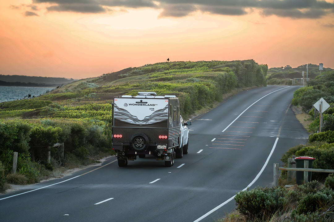
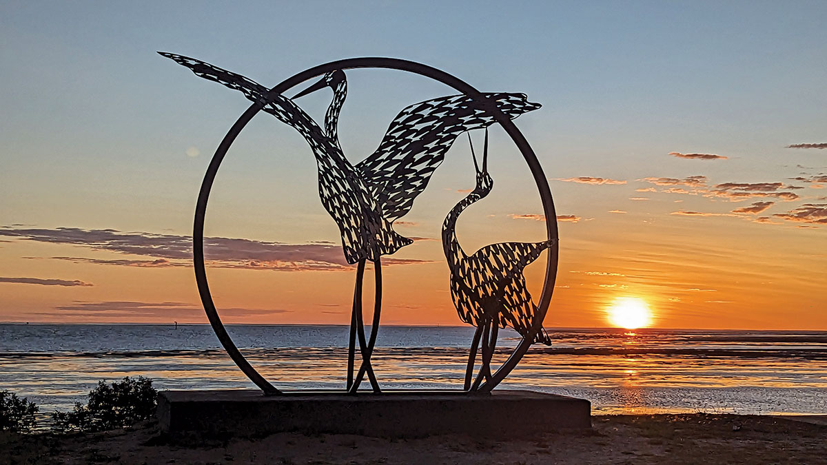
The Savannah Way: Western Australia to Queensland

Roaming across the top of Australia between the tropical northern destinations of Broome and Cairns, the Savannah Way is one of our country’s best drives.
Our recent travels had taken us across from the east coast to Karratha in WA with a group of friends on a journey that had been planned for many months. And while the trip had been minutely organised because of the number of people involved, our plans for where we would head next were vague. Then, looking at a map one night, the idea of returning east across the Savannah Way seemed logical.
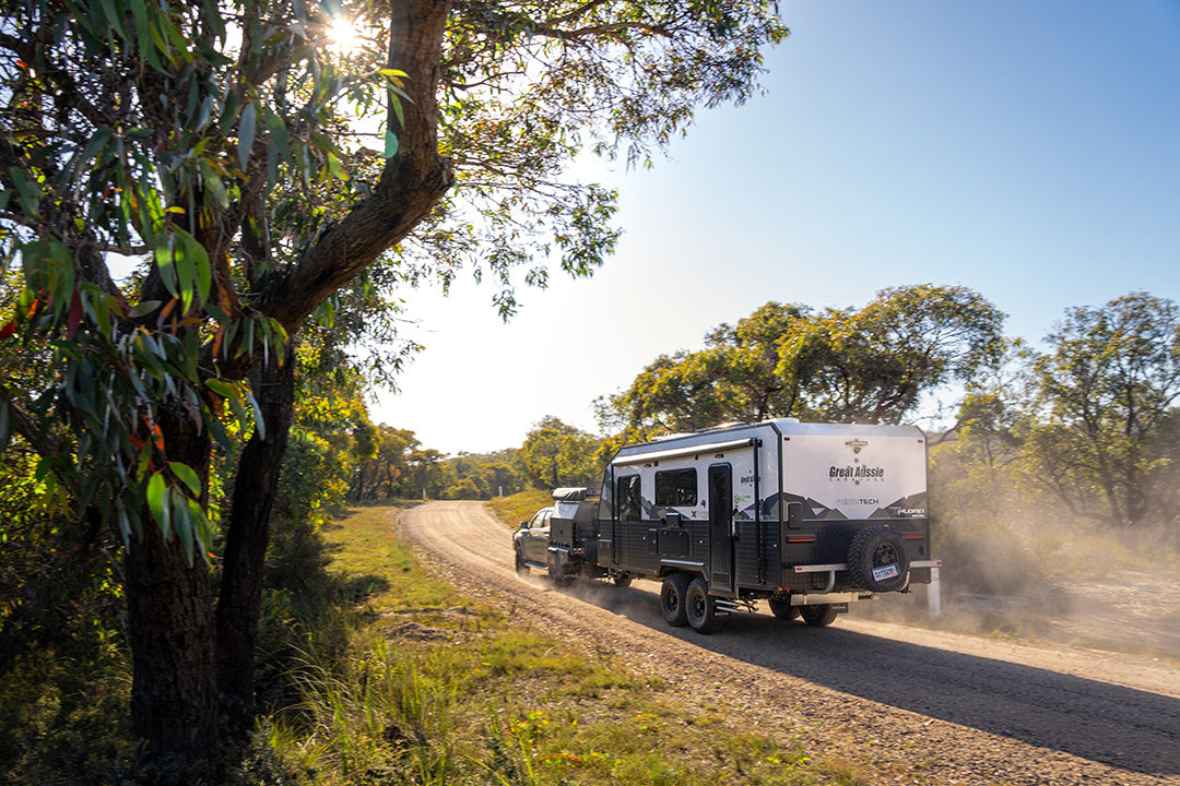
Promoted by a loose collection of tourism bodies, the journey connects highways and development roads into one of our most exciting and diverse destinations. The road is a ‘choose your own adventure’ odyssey because the journey follows different routes depending on the degree of difficulty you dial in. Despite being part of National Highway 1, some sections are remote and best tackled with a well-equipped 4WD, so be prepared for some hard travelling and long distances between fuel stops.
Choose your adventure
There’s nothing obligatory about your route because you can deviate from the suggested track to explore different horizons along the Way. Stick to the blacktop for most of the trip or knuckle down for a full-on adventure with many kilometres of corrugated road for a more outback experience. On our recent crossing from the west to the Pacific, we chose the hard way but included plenty of detours to add to our northern Australian road trip.
On paper, the distance between Broome in WA's Kimberley and Cairns in lush North Queensland is 3699km and the Savannah Way brochure suggests a six-day long drive. I suggest that's a fantasy. I wouldn’t even attempt for a bet. You would see enough grasslands to last a lifetime, but the best bits would zoom by in a flash. Our recent continental crossing took us west to east and, discounting a two-week side track to Darwin and Kakadu, took 20 days. Even then, we sometimes felt like we were rushing.
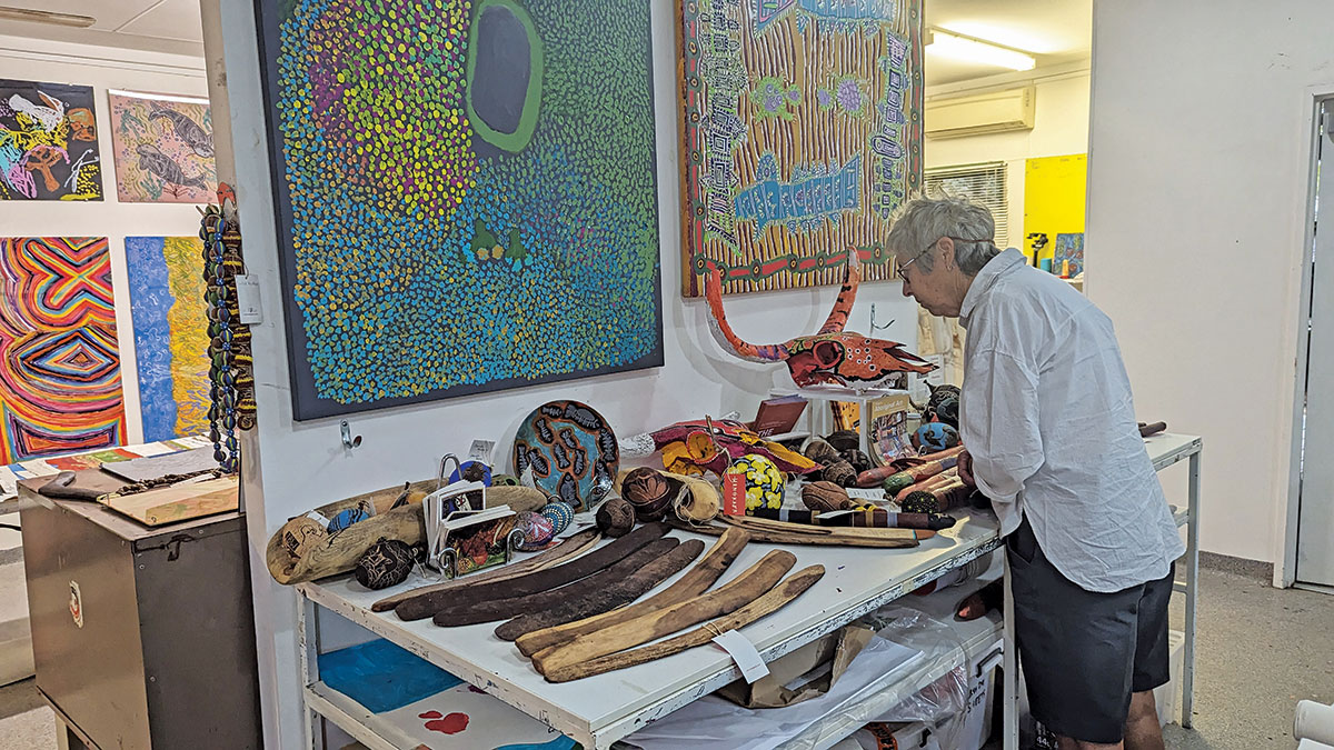
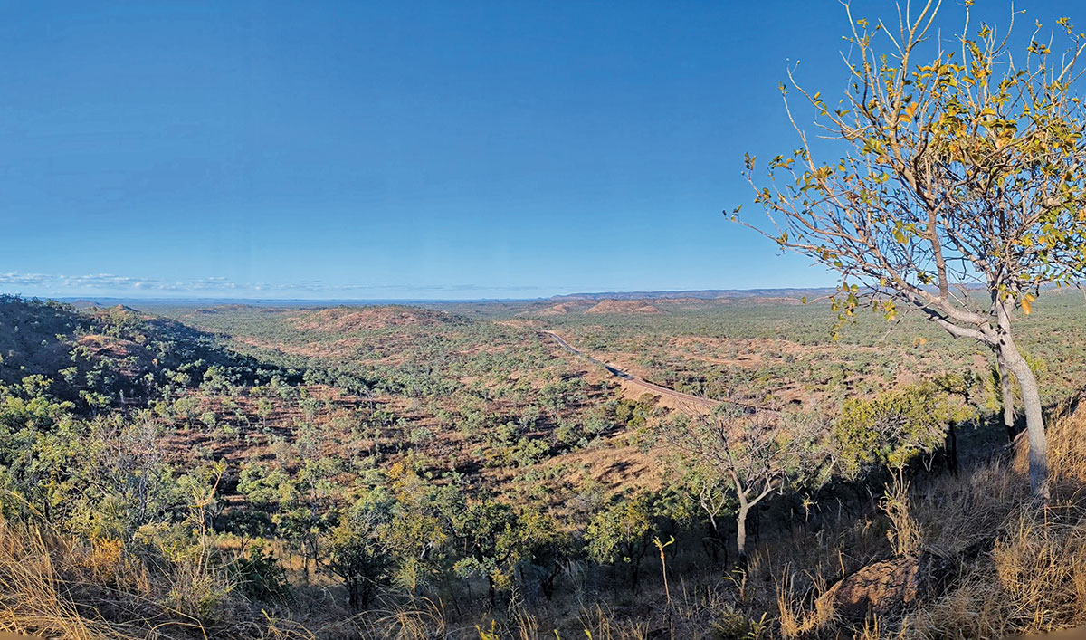
We had been in Broome, enjoying the history of the town and the wilds of Cape Leveque when unseasonal rain closed the Gibb River Road, our first planned section of the Savannah Way. Happily, the alternate route follows the Great Northern Highway towards Fitzroy Crossing and Halls Creek to Kununurra. The well-maintained sealed road meanders across woodland dotted with boabs and rocky jump-ups. We were keen to cross the Fitzroy, which was expected to close in the coming days, leaving us with no path to the north. Luckily, we had time to visit the Mangkaja Art Centre, home to some of the best contemporary desert art we have seen anywhere. Nearby sites at Windjana and Geikie Gorges were devastated by the same floods earlier this year that took out the old bridge, and they have been closed for several months. Construction on the new bridge across the Fitzroy floodplain and river was pounding ahead, with hundreds of workers crawling around like ants over the project.
There's spectacular scenery to enjoy on the road north as the route winds through rocky red crags against a blue sky. Mimbi Caves, about halfway to Halls Creek, has a caravan park and tours with Aboriginal guides to explore art sites and fossillised reefs deep in the limestone caves. We took in the view at the campsite at Ngumpan Cliffs, but we were keen to make tracks to meet up with friends in Warnum, so we drove on into the evening and settled into the basic caravan park as the rain started to fall in earnest. The Fitzroy closed the next day.
Kununurra is a great spot with many shops, mechanical businesses and caravan parks. Explore the Ord River and Lake Argyle, or head out to Wyndham and the attractions of El Questro at the northeastern end of the Gibb River Road. Wyndham is the end of the road in many ways. It’s the northern extremity of the Great Northern Highway and a small town that looks back to more prosperous times. It's worth the drive to see the sunset at the Five Rivers Lookout and the historic reminder of its thriving past when its port operated a beef export terminus.
After taking in the experience and gorges at El Questro, we settled on the eastern bank of the Pentecost River for a few relaxing days before continuing on the Savannah Way towards Timber Creek and Katherine along the sealed and well-maintained Victoria Highway.
Keep River National Park is a worthwhile side track across the WA/NT border with accessible Aboriginal art sites and scenic walks through rocky outcrops.
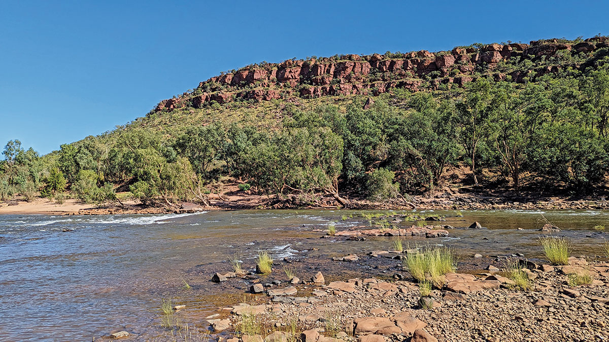
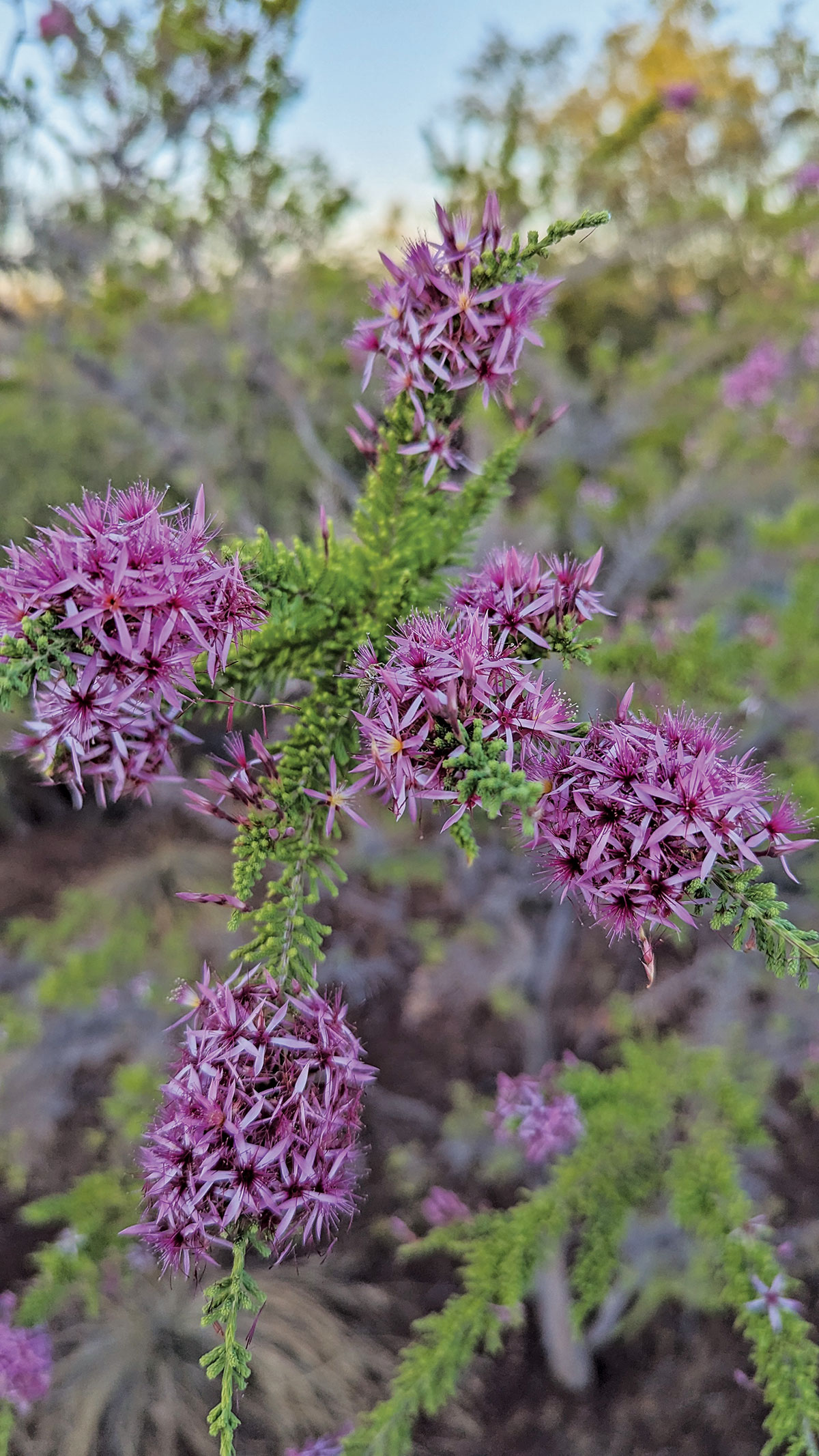
We camped at the old Baines work camp and marvelled at the variety of flowers and birds competing for attention in the late afternoon sun. Lunch was at the old Victoria River Crossing, and further on at Timber Creek, we filled the LandCruiser and drove up to the lookout for views of the massive Victoria River.
In Katherine, we camped at the Rapids ($20 a night) near town. It's a great place and we enjoyed a traditional camp dinner with damper and stew around the fire. Our travel guru, Julia D’Orazio, recently wrote a feature on Katherine, showcasing all the area's attractions.
Barra on the barbie
Yet another deviation saw us taking the Stuart Highway north to Darwin and Kakadu for a couple of weeks before heading south again to Mataranka and the start of our proper wild country section of the Savannah Way. Here I had a flash of luck or perhaps intuition. I filled a couple of jerry cans with diesel, even though the Way's website advises that the Roper Bar store is open for fuel. It wasn't, and it has been closed for some years.
The road to Roper Bar is primarily single-lane bitumen, so take care of bends and crests to avoid oncoming traffic and flying stones. At the turnoff into Roper Bar, we ran into old mate Glen Marshall, past editor of our sister magazine Camper Trailer Australia. It's a small world.
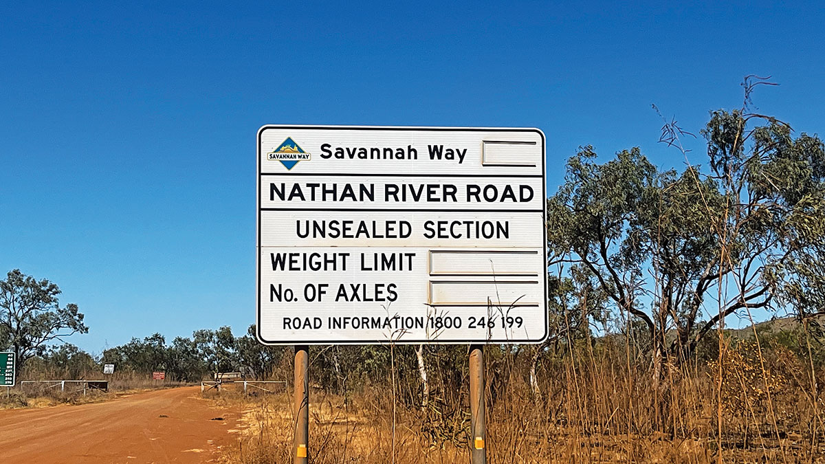
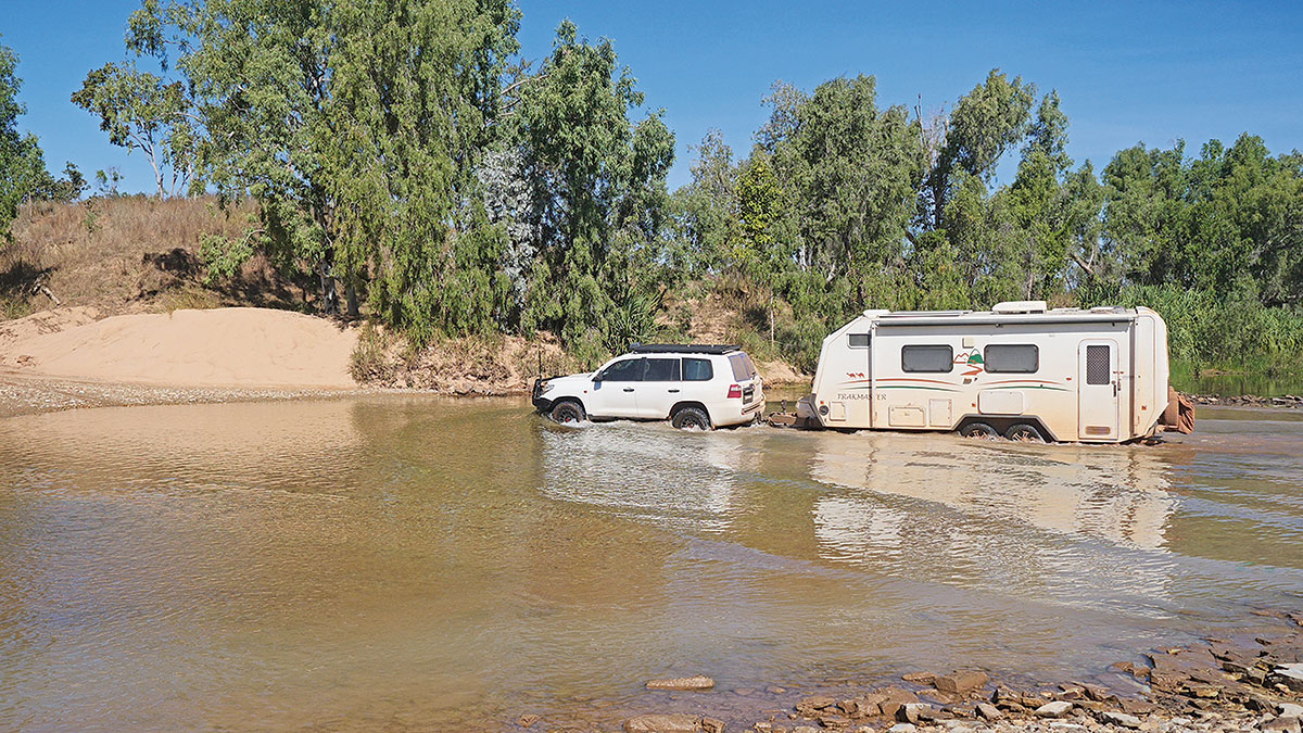
Roper Bar marks the entry to Limmen National Park along the Nathan River Road and the start of around 1000km of dirt roads through to Normanton. Park fees apply for access to the park for non-NT residents. Even with tyres on the car and van down to 20psi, some sections of corrugations across to Borroloola had us down to 40km/h at times. But it was mostly smooth travel through grasslands and river crossings. A huge campground with toilets and showers beside the wide river at Tomato Island hosted us for lunch.
We travelled further to Towns River, another camp with basic facilities and half dozen sites on the river. We lucked out when we got talking to a couple of fishermen who had been there for a week and wanted to share fresh barramundi fillets from their morning catch of 20 fish and half a dozen keepers. Fresh barra on the barbie and a golden sunset around the campfire was hard to beat.
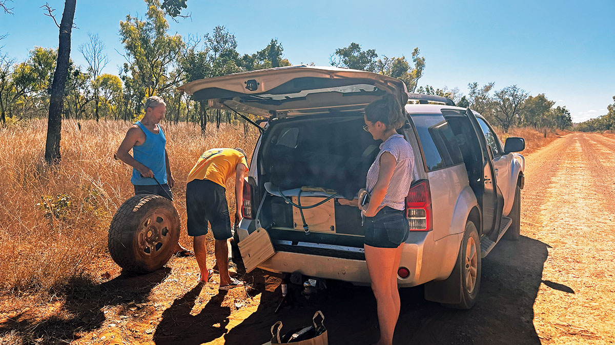
A couple of hours east of Towns River, we caught up with a couple in a Kedron we had also met the previous night. They were pulled over to help a young couple in a heavily packed Nissan Pathfinder with a flat rear tyre. Their problem was they had built an elegant set of plywood drawers into the car's cargo area but had covered over the hatch that housed the tyre-changing tools. "I never thought I would use them," the driver told us, to our amazement. Luckily a Toyota wheel winder worked with some effort, and we soon changed wheels. I plugged seven repair rubbers into the hole but couldn't get the leak in the tyre to stop, so we left them to slowly make their way back to town without a spare.
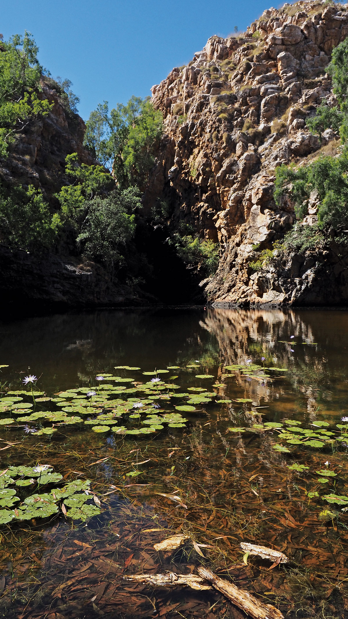
Butterfly Falls has another bush camp and a pretty swimming hole surrounded by paperbarks and festooned with lotus flowers.
Although still listed as open, the popular private one-million-hectare wilderness park at Lorella Springs has closed until further notice, after 25 years of welcoming guests to enjoy the lovely hot springs and surrounds. Owner Rhett Walker made the announcement earlier this year, quoting red tape and bureaucracy.
Limmen National Park has two ‘lost city’ landscapes of sandstone pillars, but the Southern Lost City has the more sensible access unless you are into extreme offroading. The turnoff is 35km south of the ranger station and leads 4km to a posted walking trail through the formations.
River crossings add variety to the scenery and help punctuate the drive with a short walk and a look around. As it was getting late, we took the Ryans Bend Road to Borroloola, missing out on the Heartbreak Hotel at Cape Crawford. Oh well, we better come back.
You can also reach Borroloola via an alternate sealed road from Daly Waters on the Stuart Highway, but I must admit to feeling quite smug having tackled the dirt. This tar section opens the nearby King Ash Bay to allow easy access for hundreds of anglers who descend on the vast 500ha campgrounds of the local fishing club for months at a time during the dry.
Regulars tow boats of all sizes from thousands of kilometres away for fishing in the McArthur River and the grounds around the Sir Edward Pellew Islands. If you don't bring a boat, there's fishing from the banks, with the local charter operator, or from a club houseboat; however, you must book well in advance. Even without fishing, King Ash Bay makes a sensible break for a day or two halfway along the long dirt sections of the journey.
The road to hell
Once you leave Borroloola, you are back on the dirt towards the Queensland border and Hell’s Gate. The name suggests the drive to Hell’s Gate can be testing, and the first 60km and a 20km section in the middle were badly corrugated and something of outback folklore, but it's only a relatively small section of the 300km. Big mobs of cattle roam the roads for hundreds of kilometres and while they generally stay out of the way, the many dead ones attest that's not always true, so be careful.
Hell's Gate Roadhouse was established as part of Cliffdale Station in 1986 to cater for the increasing number of travellers exploring the Gulf. These days it's a popular destination with a hotel, meals, motel rooms and a caravan park. It's also a valuable source of information about road conditions and fuel availability.
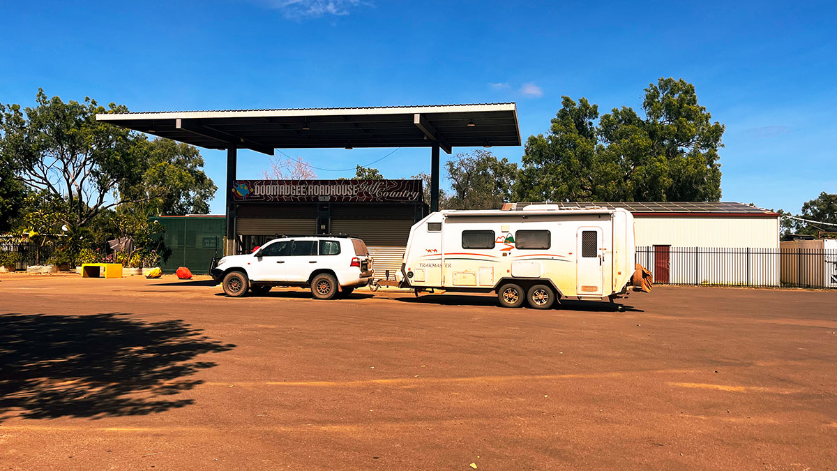
Then it's a short drive to the Queensland border and the Aboriginal community of Doomadgee, with a service station on the main road and a well-stocked supermarket and bakery in town. Half an hour further east, you cross Elizabeth Creek to Tirranna Springs Roadhouse for a decent hamburger and a coffee.
Burketown is the larger of only two towns in the Burke Shire, with around 200 residents. Check out the hot water bore on the southern edge of town that fed a bath house in the 1940s, but these days feeds a unique wetland.
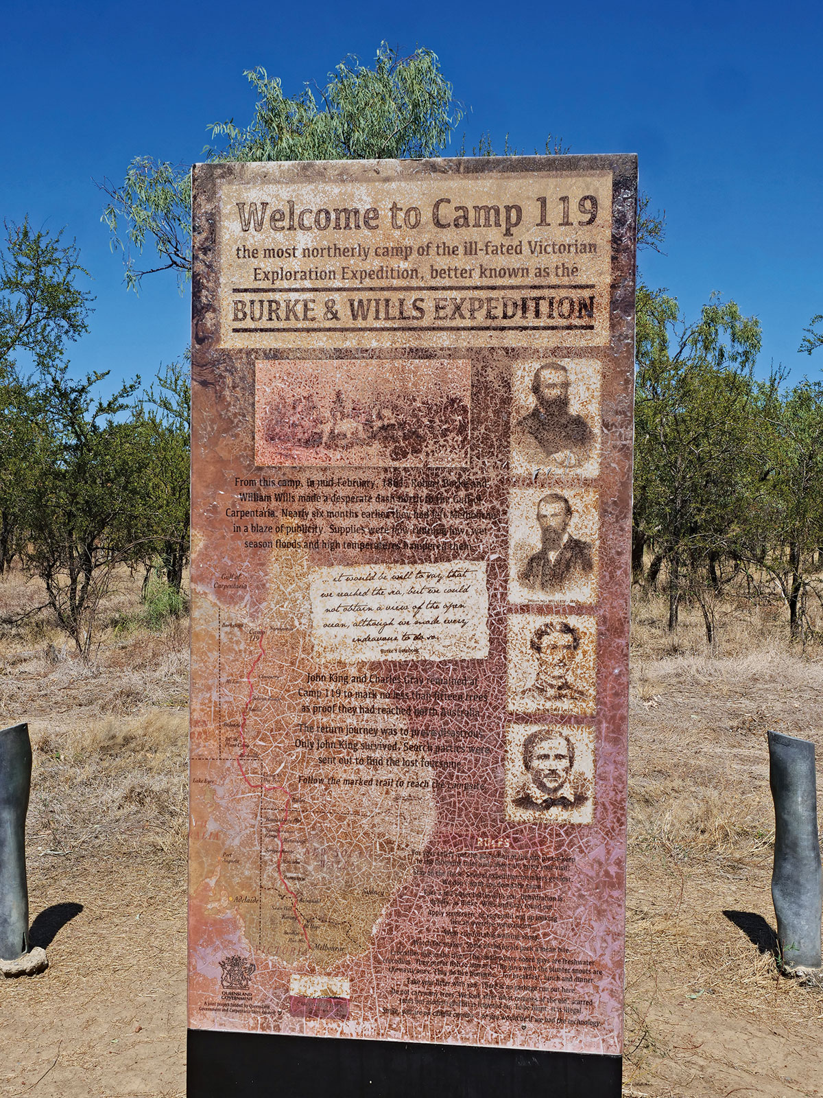
The Burke Shire commemorates the explorer Robert O’Hara Burke who, with three companions, made the first European crossing of the continent in 1860–61. The group’s most northerly Camp 119 is closer to Normanton, where you can see memorials and the remains of some marked trees. It's an eerie location but rich in a history that is rotting into the soil.
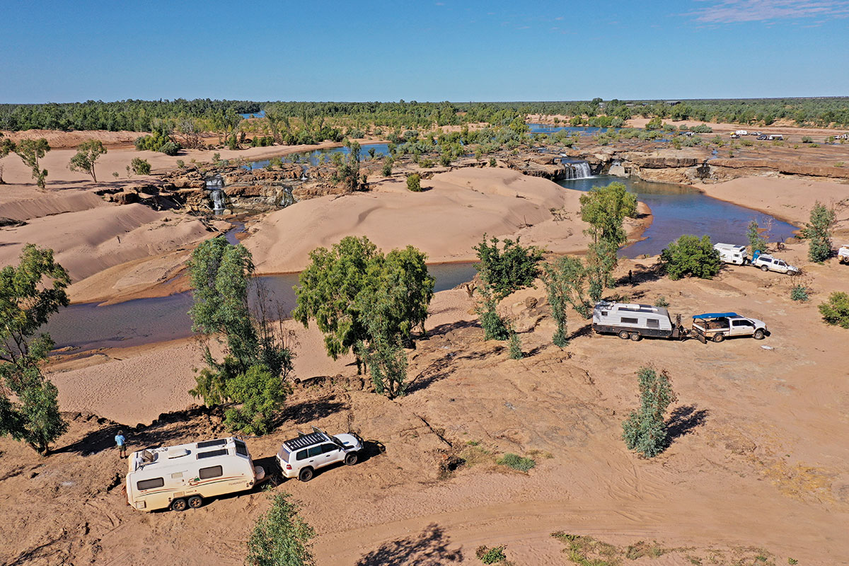
From Burketown, the road turns southeast for 70km to skirt around the lowlands of the floodplain before heading back to the coast near one of the Gulf Road's best campsites at Leichhardt Falls. When we arrived in the late afternoon, dozens of vans were camped around the river's edge. Even so, we found a tidy spot with views across the sandy shoals and while it looks idyllic and inviting, crocs are around so swimming isn’t recommended.
A fishing haven
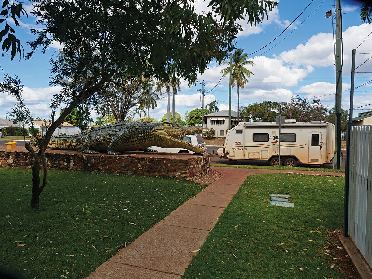
The next day we were back in the dirt and into the heart of cattle country, so the roads are well maintained for the 150km run into Normanton where we were on tarred roads, some single lane, for the rest of our journey. Normanton has a good supermarket, some down-at-heel hotels and is the home to a replica 8.6m (28ft 4in) crocodile shot on the banks of the Norman River in 1957.
Before heading further east, though, a 70km detour across vast mud flats to Karumba is a must. Thousands of caravanning fishing tragics must think so because the place was packed.
Karumba has been the epicentre of the fishing industry for the past 70 years, taking advantage of the Gulf's immense potential for prawns, barramundi and pelagics. Half a dozen caravan parks fill for the dry season, but the place is a ghost town in summer and can be cut off by the floodplain for months. Highlights were the Barramundi Centre, a sunset cruise to an offshore sand island and a fishing charter with blue nose salmon on the chew.
Cairns was an uneventful drive on the bitumen through Croydon and Georgetown's 19th-century gold mining areas, each with its iconic pub and residential architecture pointing to simpler times. Croydon is home to the Gulflander train that travels weekly to Normanton return, and you can hitch a ride. Georgetown has the Ted Elliott Mineral Collection, worth visiting for the 4500 varieties.
There are numerous roadside camping opportunities heading east and we found a great campsite at Gulf Development Lookout on Wiki, 28km east of Georgetown. It’s a steep, rough, unsigned track to the top of the hill with views of Mt Surprise to the east. It's only a small space, so get there early.
The eastern end of the Savannah Way deserves its own story because you could spend weeks exploring. Diversions include the Undara Lava Tubes, Cobbold Gorge, the fossicking fields at Mount Garnet, Paronella Park and the many waterfalls around the escarpment as you drop to the coast. And Cairns, of course, where the busy streets and traffic lights take some getting used to.
The wrap
The Savannah Way isn't the most straightforward route between the east and west coast, but it's the most varied and interesting and offers plenty of opportunities to see the natural beauty of outback Australia. Travelling the outback roads can be challenging and you must be prepared for the harsh environment with a well-equipped and properly maintained vehicle and van. It's a journey through the heart of Australia that's worth its reputation. Some of the going is tough but it’s just the sort of challenge we all imagined when we signed up for an offroad caravan.
THE NEXT STEP
Are you ready to experience the freedom of the open road? Don't wait - Find your dream getaway now!