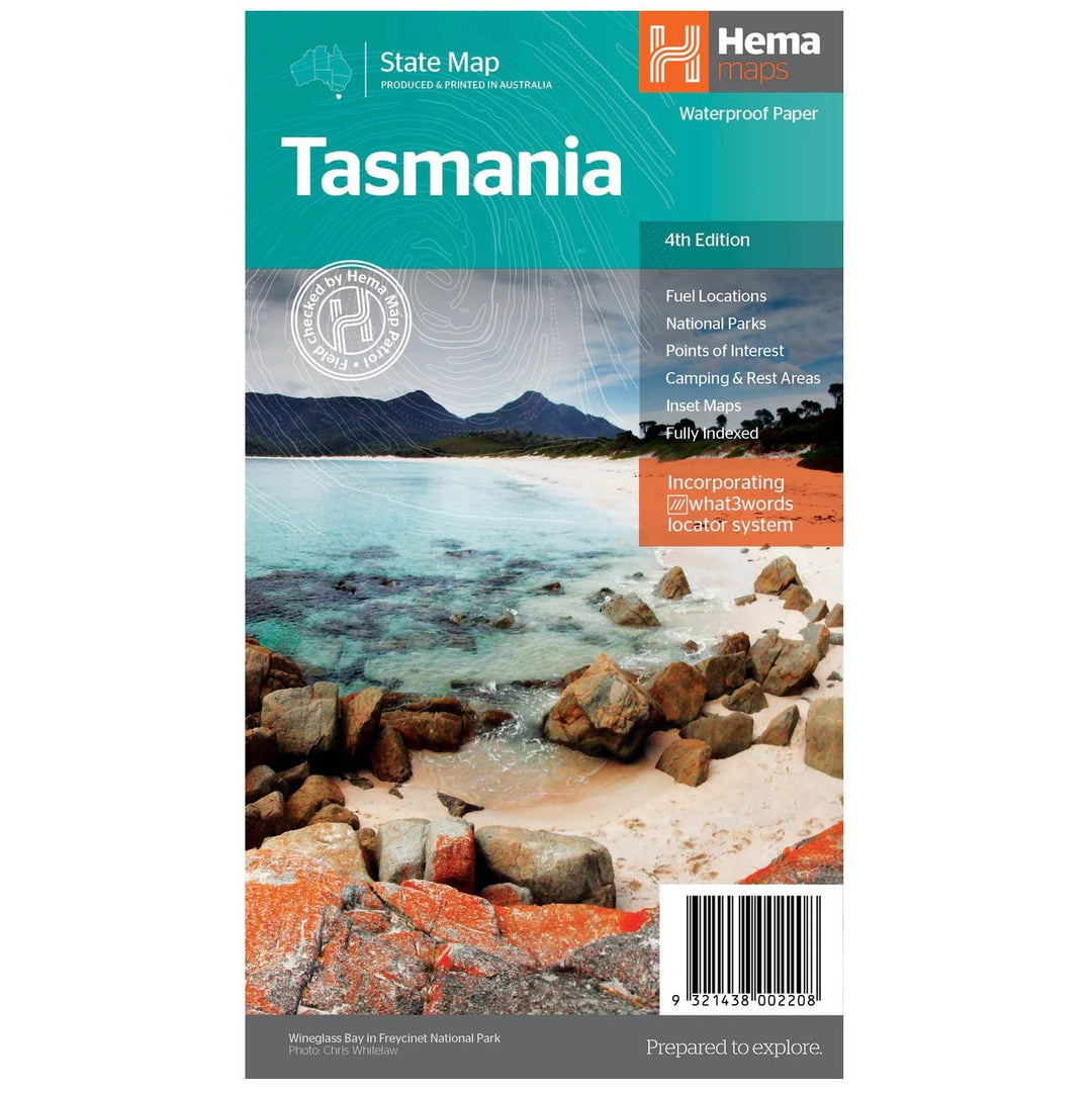
The fourth edition of Hema’s Tasmania State Map features Hema’s distinctive and informative maps fully, all of which have been field checked by Hema’s Map Patrol to ensure the best possible accuracy with the latest mapping data.
A fully indexed state map of Tasmania (TAS) at a scale of 1:500,000. Marked on the mapping are national parks, fuel locations as well as camping and rest areas.
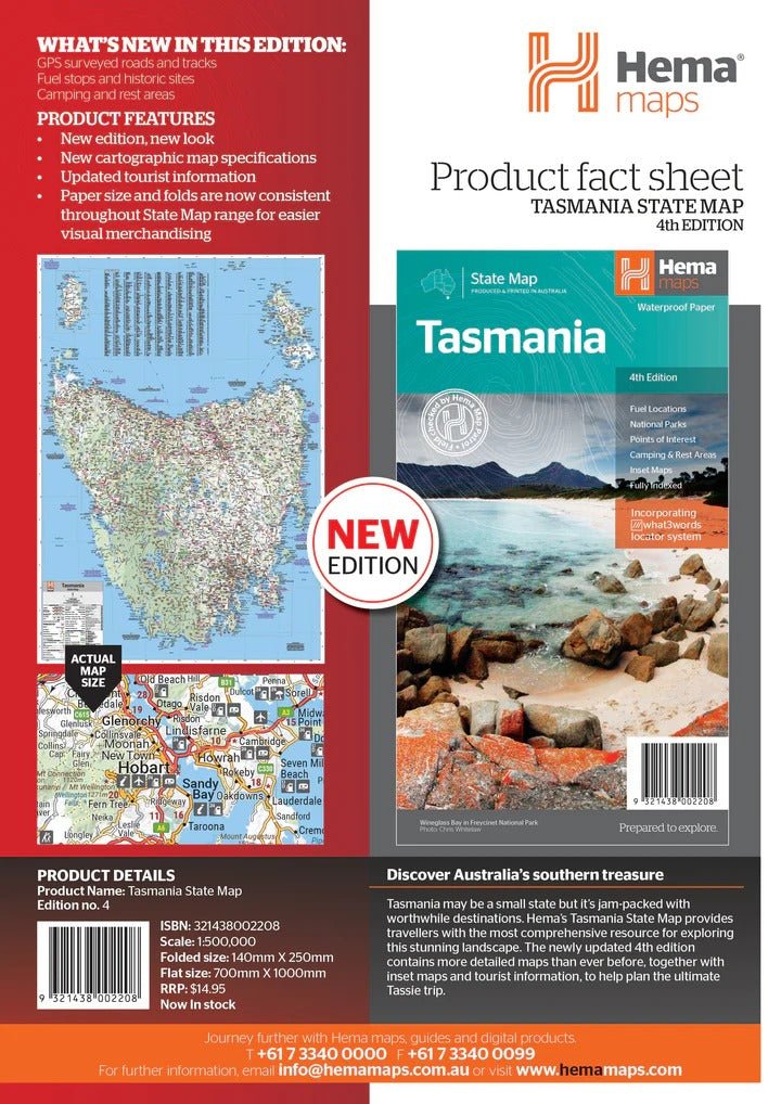
The reverse side consists of:
a summary of the key things to see and do broken up into the North West, Launceston, Tamar and the North
a table listing of National Parks and Reserves with key features and facilities (such as Camping and Caravan sites, BBQ, toilets and showers)
Visitor centre listing
Map of the area around Zeehan and Queenstown at 1:250,000 scale (including Lake St Claire and Franklin-Gordon Rivers National Parks)
Map of Freycinet National Park at 1:125,000 scale
Map of Southwest National Park at 1:200,000 scale
Map of Hobart & Region at 1:250,000 scale (including petrol stations, information centres and rest stops marked)
Tasmania is located off the southeast corner of mainland Australia. It is Australia's smallest state in terms of both size and population, yet is a major tourist attraction due to the diverse and spectacular scenery, unspoilt wilderness, fantastic food and wine and heritage and cultural sites.
Key Features
Fully updated and indexed primary Map of Tasmania at a scale of 1:500,000 and showing national parks, fuel locations as well as campsites and caravan parks
Detailed maps of the Zeehan and Region (including Lake St Clair and Franklin-Gordon Rivers National Park), Freycinet National Park, Southwest National Park and Hobart & Region
Complete list of Tasmanian Visitor Information Centres
Table showing Tasmania’s National Parks and Reserves with key features and facilities
Summary of the key things to see in Tasmania broken up by region.
Key Specifications
Edition: 4th
Publication Date: 15/02/21
Scale: 1:500,000
Folded size (WxHxD): 140mm X 250mm x 3mm
Flat size (WxH): 700mm X 1000mm
Weight: 0.09kgs
Use collapsible tabs for more detailed information that will help customers make a purchasing decision.
Ex: Shipping and return policies, size guides, and other common questions.