Riding the Road to Discovery

The golden dawn lit the crowns of the mist-shrouded trees as we walked from our campsite to the summit of McDermid Rock. An uninterrupted 360-degree view to the horizon awaited us — a mosaic of kwongan heath, mallee scrub, eucalypt woodlands, granite outcrops and salt lakes — of one of the world’s greatest untouched temperate woodlands.
McDermid Rock is a feature of the 300km Granite and Woodlands Discovery Trail between Hyden and Norseman in Western Australia. The trail passes through the environmentally significant, sixteen million-hectare Great Western Woodlands, regarded as the largest and healthiest intact Mediterranean-climate woodlands left on Earth. It contains about 80 species of eucalypt and 3000 species of flowering plants — about a fifth of Australia’s known flora.
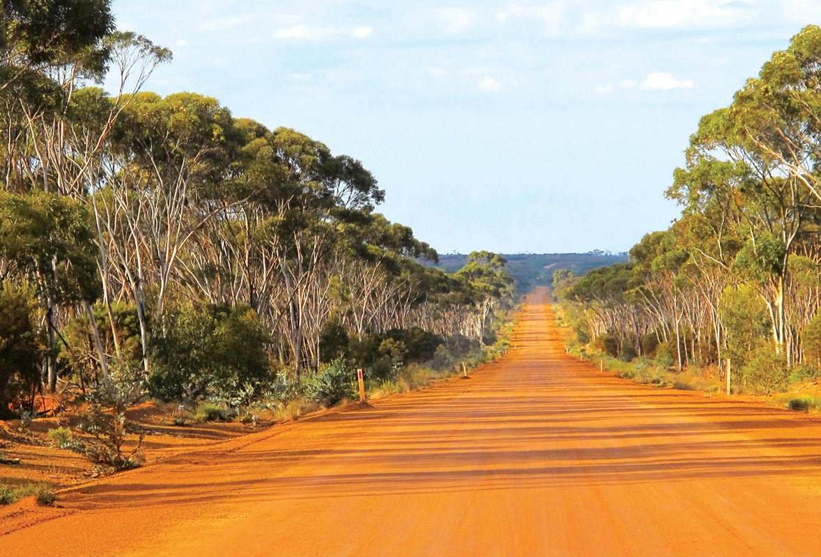
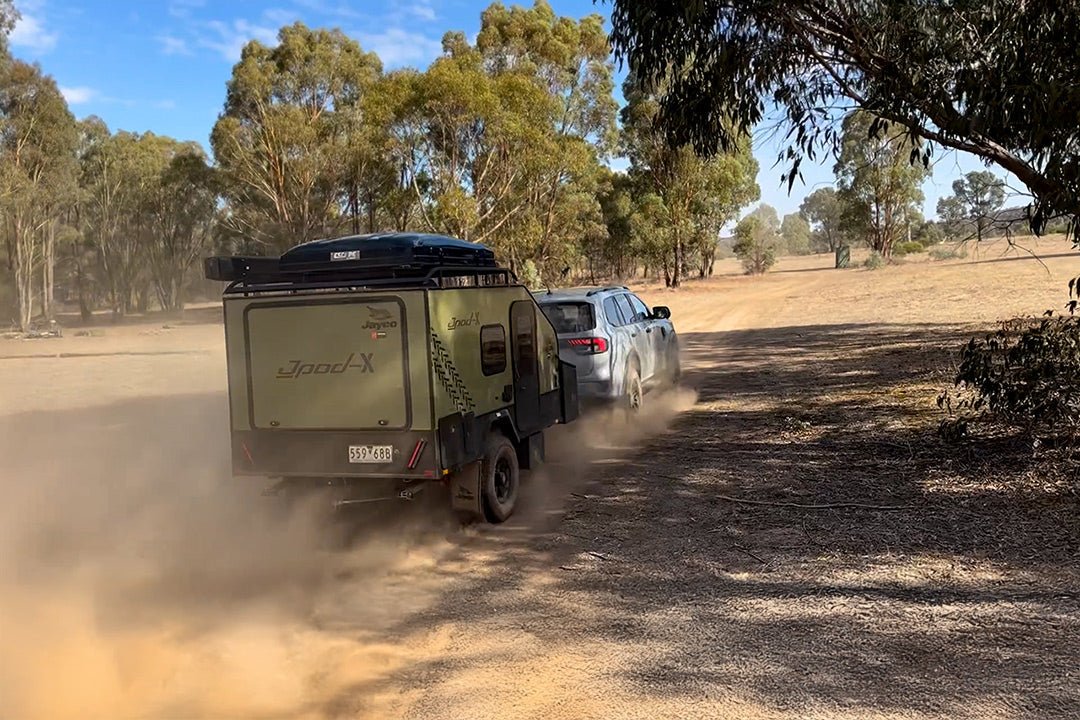
The road is a good dry-weather gravel road suitable for all vehicles, including those towing a caravan or camper. This short cut saves travellers from driving north through Kalgoorlie, or south through Esperance from the Eyre Highway and the Nullarbor. However, we have travelled this road several times and know from experience that it can be muddy, boggy and slippery when wet.
I recommend taking your time and exploring it over several days. There are three designated free camping spots, and 16 interpretive places where you can learn about the history, geology and ecology of this vast uninhabited area.
Coming from the west, your first stop is Hyden, 335km from Perth. Four kilometres east of Hyden is one of Western Australia’s most well-known landforms, Wave Rock. Formed and eroded over billions of years, the 15m high ‘wave’ is the highest of the flared slopes around Hyden Rock. A climb to the top will give you views over the surrounding grain growing land.
There are several walk trails with interpretive signage, including a walk to Hippo’s Yawn. The Humps granite outcrop and the Mulka’s Cave Aboriginal rock art site are 16km to the north, and you can also visit the Pioneer Museum and Wildlife Park.
Accommodation options include a motel, cabins, caravan park, powered and unpowered sites.
Make sure you stock up on supplies, including fuel, in Hyden as there are no supplies of any kind until Norseman.
HEADING EAST
Travelling 53km east of Hyden you come to the 1837km long Vermin Proof State Barrier Fence (previously known as the Rabbit Proof Fence), originally constructed between 1901 and 1907 in a failed attempt to stop rabbits invading from the east. You may see emus, kangaroos and dingos east of the fence, but sadly many smaller animals have been severely impacted by feral predators.
The fence marks the eastern edge of the wheatbelt, beyond which lies a vast kwongan heathland. This sandplain may be tree-less, but it is far from sterile, supporting a remarkable diversity of species and wildflowers. Botanists have suggested that in any given 1000sqm there could be close to a hundred different species.
Further on is the Holland Track, forged by John Holland and his party in 1893 as an overland route between Broomehill and the Coolgardie goldfields. It is now a popular track for well-prepared 4WD enthusiasts.
IN HISTORY
The Aboriginal Ngadju and Wudjari groups traversed this land long before Sandalwood cutters and wild dog shooters arrived in the 1920s. These latter arrivals tried to establish farming here but abandoned it during the Depression. Later crop trials in the 1960s were also abandoned and the land has returned to its natural state.
Late in the afternoon we set up camp at the Breakaways campsite, 136km east of Hyden. This place has been used as a campsite for thousands of years. Accessed via a track on the southern side of the road, the campsite is protected from the wind by the Breakaway. There is plenty of space, and it includes picnic tables, fire rings and a long-drop toilet.
The Breakaways are defined as ‘gullies formed by erosion’. Eroded by wind and water over millions of years, these hard-topped mesas and their crumbling softer faces of varying soil types are a notable feature of inland Western Australia and provide good places to camp. However, take care here, as this is a fragile and potentially dangerous environment — be sure to keep away from the cliff edges.
As the sun sets, the rock faces glow red and the long strips of shedding bark on the Ribbon Gums gently rattle in the light breeze.
THE LAND CHANGES
Next day we saw a transformation of vegetation between The Breakaways and Emily Ann nickel mine, dominated by tall eucalypt woodland and dense tamma scrub. There are several mines in this area, so be aware that large trucks use this road.
The landscape along the road offers a unique insight into country that has not been affected by pastoralism or cropping. There is also bushfire devastation along this road — due to the remoteness, bushfires are often left to burn, scarring thousands of hectares of land. However, evidence of regeneration can be seen all around.
McDermid Rock, 192km east of Hyden, is a favourite camping spot of ours (for those towing caravans, watch out for overhanging branches on the track in).
The only facilities are a long-drop toilet and a few picnic tables and fire rings, but the setting, attractively nestled in trees at the base of the rock, more than compensates for the lack of these.
A 1.27km rock trail starts at the camp and 18 interpretive panels highlight McDermid Rock’s features and flora. The first part of the trail goes to the highest point with views of the surrounding woodlands, and along the trail you will see the remains of a small stone dam, built by Jo Magee in the mid-1950s during a failed pastoralism attempt. The best time to walk is early morning or late afternoon.
These campsites and rocks are a great place to camp with children, as they offer the opportunity for nature play, exploring and learning about the ecology of the rock. Our grandsons loved running over the rocks, dipping their hands into the gnamma rock holes, and looking for lizards and the plants that live in the rock gardens. Later on the boys made a track in the dirt for their trucks around our camp. Make sure you bring the marshmallows to cook over your campfire, or perhaps you can have a go at making damper in the coals.
One of the features you will see are gnamma rock holes, which hold water for a long time after rain, and are important for human and animal life during drought. In the past, Aboriginals would visit favoured holes regularly to keep them clean.
In the rock gardens you might see Granite Sun Orchids or spot the ornate dragon lizards which dart everywhere. You’ll have to be quick to get a photo! There are also the red fruit of the Quandong trees (native peach) to look out for, which were an important food source for Aboriginal people and early settlers. They have a sharp, bitter taste, but Quandong jam is delicious!
The woodlands support nectar, seed and insect-feeding birds, including the purple crowned lorikeet, cockatoos, and currawongs, as well as mallee fowls and bush turkeys.
NEXT UP, LAKE JOHNSTON
Camping is also available at Lake Johnston, 5km east of McDermid Rock. This huge saltlake is part of a series of salt pans (or playa) that run through this area. Explorer Frank Hann camped here in 1901 and Scamp Rock is named after his dog who was lost here.
The lake may appear desolate but after a significant rainfall it turns a glistening silvery blue, supporting a huge variety of life including brine and shield shrimps which attract wading and water birds. Larger animals and lizards live around the perimeter. From the lookout you can see a group of salmon gums which seem to be out of place in this environment.
Disappointment Rock is 23km further east from Lake Johnston. There is no camping at Disappointment Rock, but a 1900m walk trail with 17 interpretive signs takes you over the rock to the highest point. However, make sure you study the walk map before you set out, as we took a wrong turn and had to backtrack. The walk took us about two hours and it was hot by the time we returned to our car, a good reason to wear a hat and carry water.
From Disappointment Rock you can turn west and then north onto the gravel Victoria Rock Road towards Coolgardie. Instead, we decided to visit Banks Rock, about 10km north, as we wanted to look at the track in. We found it unsuitable for towing a caravan or camper, instead being better suited to tenting. There are no facilities.
There is no camping between Disappointment Rock and Norseman, but you can picnic at the Woodlands, which features mature salmon gum woodlands. The vast variety of understory plants are vital to supporting birds, animals, reptiles and insects. It was interesting to read about the self-supporting co-existing life cycles that live here.
You can then fossick at the Gemfields. This is typical gold-bearing quartz reef country, and old mining shafts can be found in the area which have been thoroughly picked over, but you never know!
Lake Cowan lookout overlooking the salt lakes is situated among a stand of Goldfields blackbutt. From here you can travel to Norseman via the bitumen road and the Esperance-Coolgardie Highway or via the Lake Cowan causeway. The trail ends at the Woodlands walk trail which can be reached from the Scenic Drive off the Eyre Highway.
FINAL STOP
Norseman’s history is linked to mining. Gold was discovered in the area in 1894 when prospector Laurie Sinclair’s horse ‘Hardy Norseman’ pawed up a gold nugget. A rich gold reef was then discovered at nearby Dundas and thousands flocked here seeking their fortune. Over time the Norseman fields proved to be richer than Dundas and in 1895 Norseman was declared a town.
In Norseman you can see a statue of ‘Hardy Norseman’ as well as a corrugated iron display commemorating camels and the camel trains — the ‘ships of the desert’ — used throughout Australia during the early days to carry goods. A camel can carry 300 to 600 kilos!
The Granite and Woodlands Discovery Trail is a wilderness definitely worth exploring.
FAST FACTS
DISTANCES:
- Perth to Hyden — 340km.
- Hyden to McDermid Rock — 192km.
- Hyden to Norseman — 300km.
IDEAL TIME TO TRAVEL: Between April and October when the weather is cooler. Night temperatures can be very cold, so be prepared with warm clothing. Temperatures in summer months can be between 30 and 40 degrees.
FACILITIES AT CAMPSITES: Often basic, with picnic tables, fire rings, and long drop bush toilets. Bring your own firewood, be aware of seasonal fire bans, and use a gas stove. Take your rubbish away with you.
PETS: Allowed on leads.


