
Conquering the Divide
"In Moss Vale during winter we were eating breakfast and ice fell onto the table from our awning” – Hema Maps geophysicist, Michelle McMillan.
The McMillan family has returned from a year long expedition, mapping every road, track and recreational area along the Great Dividing Range for Hema Maps.
Geophysicists Alistair and Michelle McMillan travelled with their twin boys (Connor and Alexander) to Coffs Harbour, NSW, in the north to Lakes Entrance, Vic, in the south and as far west as Dubbo. In addition to its efforts in the Great Dividing Range, the crew also mapped sections of Tas.
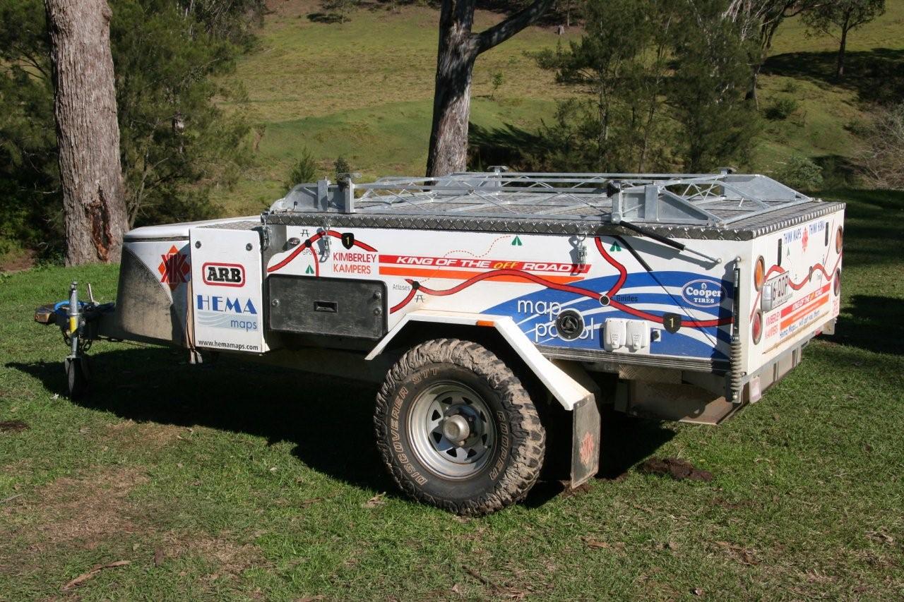
The family travelled in Hema Maps' purpose-built Hema Map Patrol and camped in a Kimberley Kamper.
CSI DGPS Max was used to record the data with differential correction provided by the OmniSTAR Virtual Base Station (VBS) “This provides data accuracy of between three to 10m,” says Michelle. The also team used the Hema Navigator as a backup device, assisted by OziExplorer. The data was collected on a Panasonic ToughBook using ESRI ArcPad.
CW spent five minutes with Michelle chatting to her about the family's adventures.
CW – Can you describe one of the most picturesque locations you encountered?
MM - This is a tough question! There are so many, Minnamurra Rainforest, most of the beaches especially along the Sapphire Coast, Deua NP for its extreme ruggedness and great 4WDing. In Tas, which isn’t strictly part of the Great Dividing Range, a lookout where hang gliders go to launch gave a spectacular view of Pirates Bay (it helped that we had a beautiful day!), Montezuma Falls, the rainforested area in general in Tassie. I really couldn’t pinpoint one spot – I loved it all!
CW – I see from your blog that you encountered weather extremes…
MM – In Tasmania we had all sorts of weather – rain, sleet, wind, and a couple of warm sunny days like summer. In Moss Vale during winter we were eating breakfast and ice fell onto the table from our awning! The only really hot days were the last few as we headed home at the time everyone was having the heat extremes. We also encountered gale force winds and torrential rains when we were in Sydney awaiting the birth of my nephew. We were very impressed and relieved that the (Kimberley Kamper) camper withstood it all!
CW – What was/were the hairiest road/s you travelled on?
MM – That would be the Kilprotay Road at the back of Kempsey. We didn’t realised how clayey the tracks were until it was too late and we could only go forwards – not to mention the winch died in the process. The other challenging area was the Deua NP. These roads are very steep and the only flat bits were the ridge lines and the Bendethera camping area.
CW – Did the kids get involved in getting the data or helping with the trip?
MM – Absolutely! They were always calling out the facilities when we were at picnic areas, lookouts, camping areas, etc. They also called out when they saw anything we usually map like police stations, post offices, boat ramps, telephones (this hasn’t stopped yet even though we aren’t mapping currently!). There are things we would have missed had they not been in the car with hawk eyes! They have also taken some photos and taken keen interest in photography.
CW – Did you find anything new that you hadn’t expected?
MM – There were camping areas we didn’t know about, lovely picnic spots, and quirky things like the person-quins in Uralla. I am thinking about doing a blog about some of the odd things we have encountered along the way.
For more information on the Hema Maps Great Dividing Range expedition, visit Michelle McMillan’s blog. Visit the caravan website soon for video clips of the Hema Map Patrol in action at Georges Junction, near Oxley Wild Rivers National Park, NSW.


