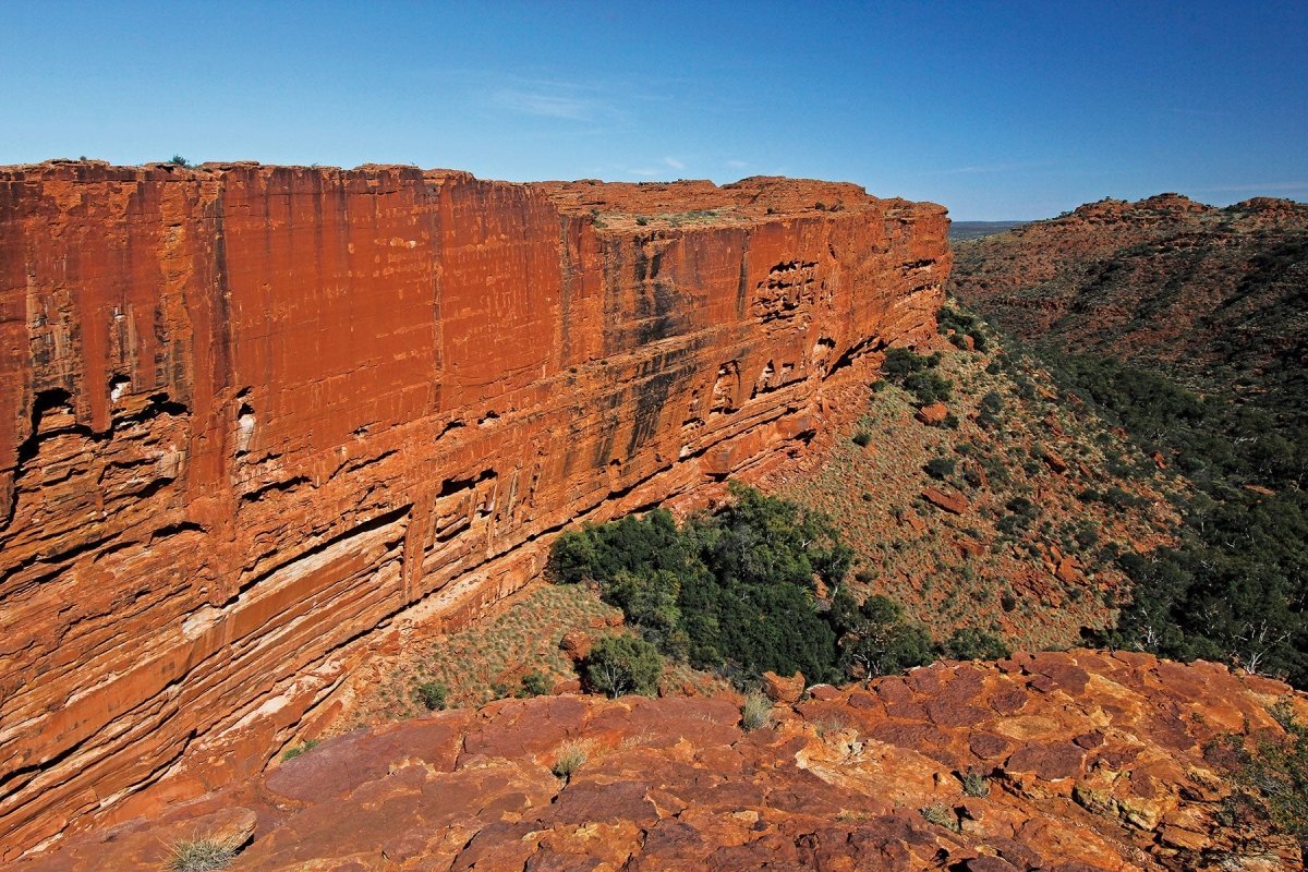

The outback is a vast, sparsely populated region that is quintessentially ‘Australian’, deeply ingrained in our heritage, history and folklore. Sometimes referred to as ‘beyond the Black Stump’ or ‘back of beyond’ or simply as ‘The Never-Never’, the term signifies something a long way from anywhere, more remote than 'The Bush', which is closer to civilisation.
To be more precise, the Aussie outback spans 5.6 million square kilometres, nearly three-quarters of the continent, encompassing all of the Northern Territory, most of Western Australia, South Australia and Queensland, and the north-western corner of New South Wales. Fewer than one in 20 Australians lives out there, many of them Indigenous people whose ancestors have occupied it for at least 50,000 years.
The Australian outback is recognised globally as one of the largest unmodified natural environments remaining on earth. Reflecting extremes of climate and geography, this sprawling heartland comprises a rich tapestry of landscapes, places of wild beauty ranging from the bountiful tropical savanna of the Top End and Gulf to the stark, rainless deserts of the central inland and the inhospitable gibber plains and salt pans of the Channel Country. Australia's red centre is resplendent with iconic national parks and iconic destinations, but here are some of my favourite places that can be added to your road trip itinerary or explored as a day trip if you're a local.
Arkaroola Wilderness Sanctuary, Flinders Ranges, SA
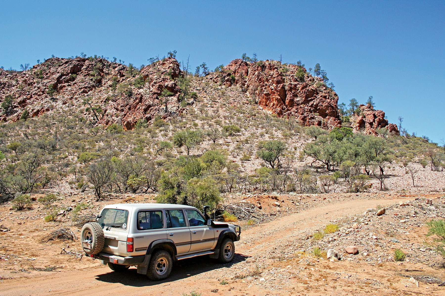
The Arkaroola Wilderness Sanctuary (AWS) is cradled among the ancient, dramatic landscape of the Northern Flinders Ranges, 700km north of Adelaide. It’s a truly harsh, arid environment adjacent to the usually dry Lake Frome and the spectacular Vulkathunha-Gammon Ranges National Park. The AWS was created by geologist Dr Reg Sprigg, who purchased the 610sq km former pastoral lease in 1968 and transformed it into a sanctuary for wildlife, including the rare and endangered yellow-footed rock wallaby.
It's an ideal location for the 4WD enthusiast, with many exciting self-drive and organised tour tracks through the surrounding hills. Highly recommended are the four-hour self-drive Echo Camp Backtrack, which takes in the beautiful Barraranna Gorge Waterhole, and the Ridgetop Tour through the remarkable red granite hills to Sillers Lookout, which offers panoramic views over Yudnamutana Gorge to the vast Lake Frome.
Accommodation at Arkaroola Village ranges from motel rooms to caravan and camp sites, with facilities that include a licensed restaurant and bar, swimming pool, small shop, service station (petrol and diesel) and a vehicle workshop. The best times to visit are the cooler months of spring and autumn.
Diamantina National Park, Qld
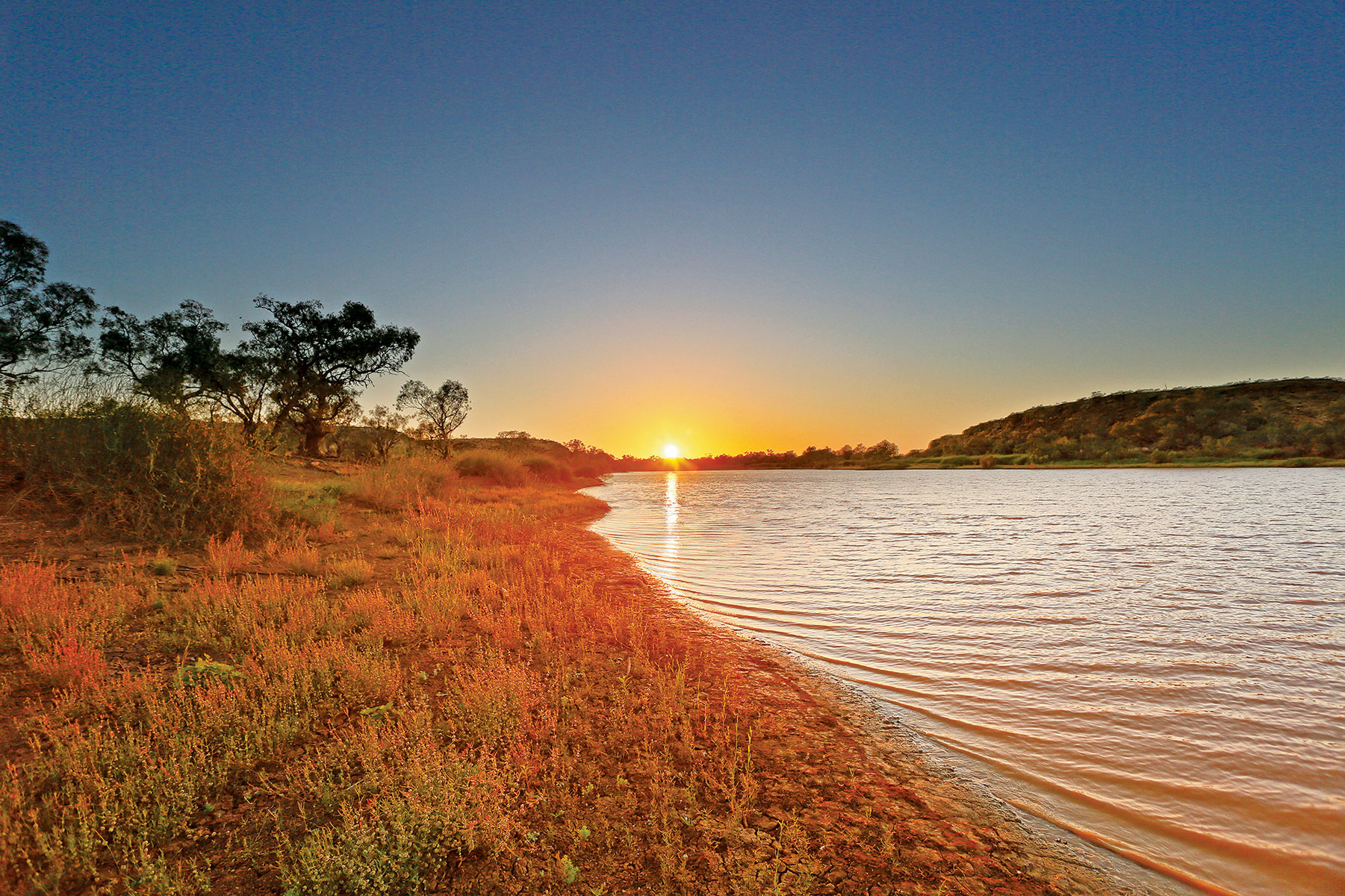
Queensland’s Channel Country is a vast arid landscape of gibber plains, dunefields and low stony hills. The climate is extreme, with temperatures soaring above 45 degrees Celsius in summer and plummeting below zero at night in winter. Rainfall is meagre and unpredictable. At its heart, pulsing in a boom-and-bust cycle of prolonged droughts and short-lived floods, the Diamantina River sustains an amazingly rich diversity of plants and animals adapted to the harsh environment.
The river bisects a national park of the same name which, at 507,000ha, is one of Queensland’s largest and most remote conservation areas. Fed by copious monsoonal rain and constricted by a deep, narrow gorge at the Diamantina Gates, the river periodically inundates the surrounding floodplains to create a semi-permanent wetland of international renown. There are two camping areas within the national park. Gum Hole has five small sites suitable for tents or camper trailers among the coolibah trees beside Whistling Duck Creek. At Hunters Gorge the camping area is spread along the bank of the Mundewerra Waterhole and is better suited to offroad caravans. It’s a great spot for fishing, canoeing and birdwatching. Camping permits are required, and fees apply.
Jupiter Well, Gary Junction Road, WA
The Gary Junction Road has been described as one of the best drives in outback Australia, traversing the Great Sandy Desert for almost 1500km from Papunya, NT, to Marble Bar, WA. The original track was carved out of the desert by Len Beadell and his Gunbarrel Road Construction Party during 1960–1963.
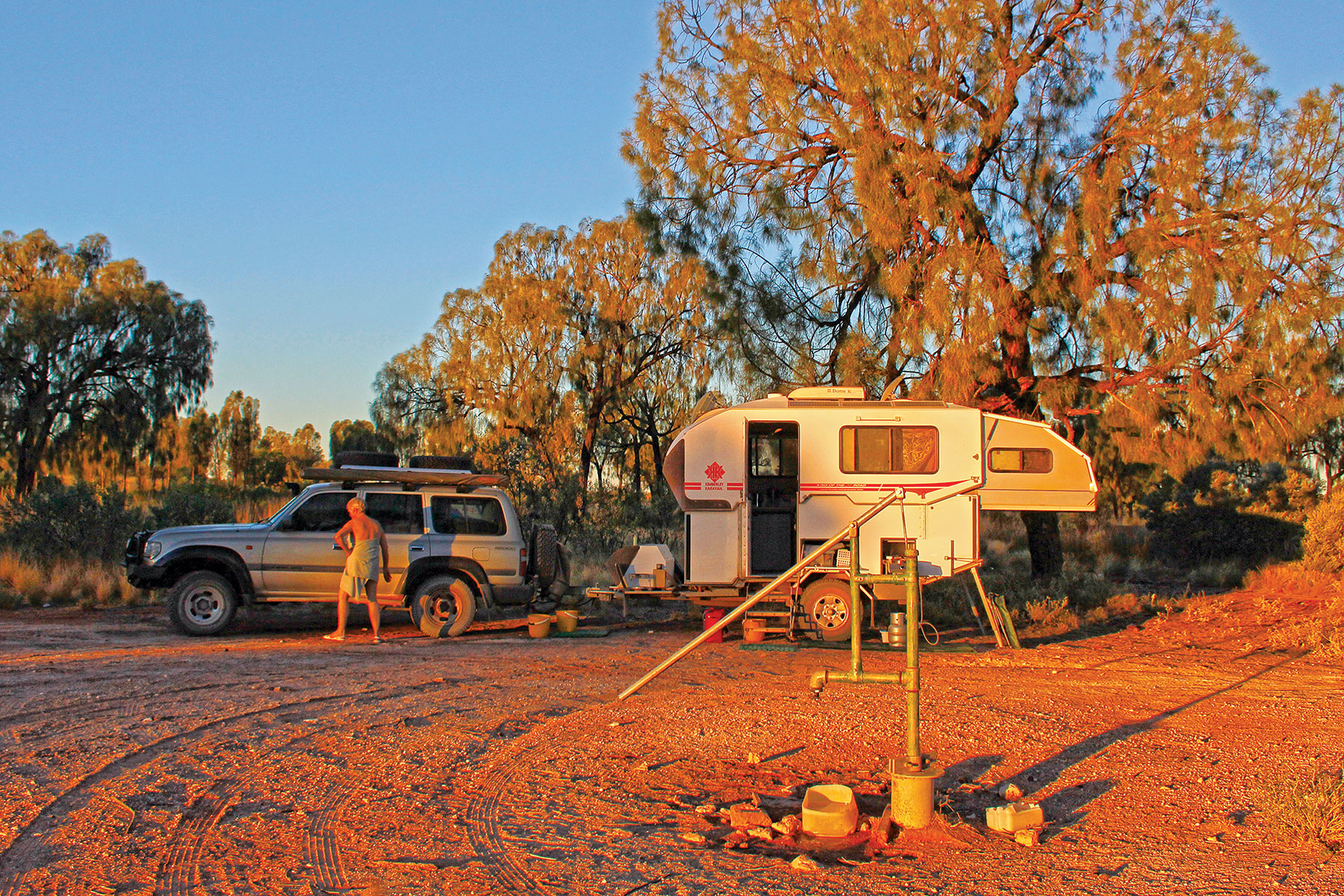
It has since been maintained as a wide, relatively smooth road across a flat sedimentary basin covered by sandy plains, serried ranks of coral pink dunes and flat-topped mesas interspersed with salt lakes. At 285,000sq km, the Great Sandy is the second largest desert in Australia, where summer temperatures hover in the 1940s and yearly rainfall is a miserly 250mm. Water is a precious resource in this harsh environment, which makes Jupiter Well a welcome, potentially life-preserving, oasis. The original well was dug by Beadell’s survey crew in August 1961, 147km west of the Kiwirrkurra community, but was re-sunk at its present location, 300m to the north, in 1985. It was named after the planet when its reflection was seen by the crew at the bottom of the well late one night. The well’s hand pump stands at the centre of a very pleasant camp in a clearing on the north side of the road, surrounded by large, shady desert oaks. It dispenses clear, clean potable water, which travellers must share with flocks of raucous galahs at dawn and dusk. The drier, cooler winter months are the best time to travel here, and you’ll need a transit permit from the Ngaanyatjarra Council for this section of the journey.
Kallara Station, NSW
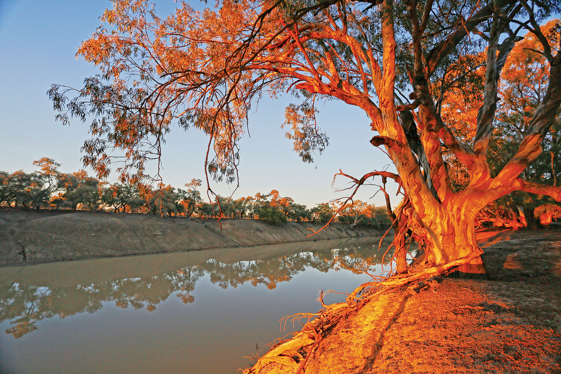
The Darling River is the geographic threshold of the New South Wales outback which covers more than half a million square kilometres to the west. It is a Wild West frontier etched firmly in Australian folklore by the deeds of explorers and riverboat captains, and the pens of bush poets. Each year, it draws thousands of travellers to its dusty banks on a 750km Darling River Run from Bourke to Wentworth on the Victoria border. About 175km south of Bourke, Kallara Station was established as a million-acre pastoral lease on the west bank in 1857. It was one of the biggest ‘runs’ in Western NSW, boasting 400,000 sheep and a steam-driven mechanical shearing shed of 44 stands.
These days, Justin and Julie McClure operate a mixed grazing enterprise on a much-reduced acreage, augmented by membership with the Outback Beds network, offering station stay accommodation for up to 24 guests in lodges and motel-style units. Caravanners have the choice of powered sites with access to barbecues, hot showers and toilets, or bush camping along 32km of pristine riverfront surrounded by red gums and coolibahs that ring with the call of whistling kites and corellas.
Kennedy Range National Park, WA
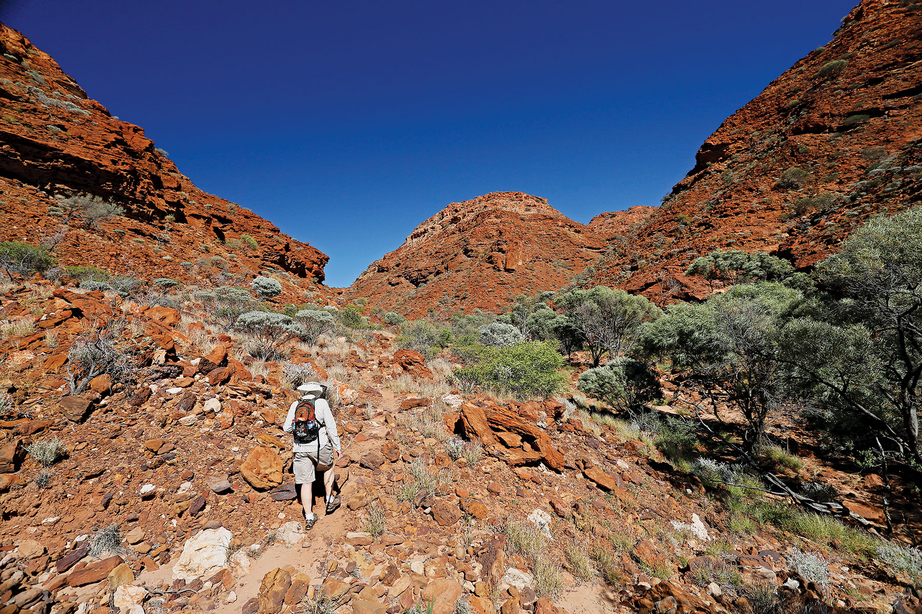
The Kennedy Range (Mundatharrda), 235km northeast of Carnarvon via Gascoyne Junction, is one of the best outback experiences in Western Australia. Embraced by a national park spanning almost 3200sq km, the Range’s red sandstone battlements and sinuous gorges dominate the western edge of the vast and forbidding Gascoyne River catchment. This sparsely vegetated desert wilderness bakes under a flawless blue sky by day and shimmers under a star-filled canopy at night.
These are the traditional lands of the Maia, Malguru and Inggarda Aboriginal people, and more than 100 sites throughout the area provide evidence of their occupation for some 20,000 years before European pastoralists. Temple Gorge campground is located at the base of towering cliffs on the eastern escarpment, with sites that can accommodate caravans and camper trailers among the scattered mulga and wildflowers. Facilities are limited to a bush toilet and communal fireplace (wood supplied). Bring your own drinking water. Entry to the park is free but camping fees apply. The camp makes a convenient base for exploring the eastern side of the range on six walking trails. The best time to visit is during the cooler months of wildflower season (July–September).
Kings Canyon, Watarrka National Park, NT
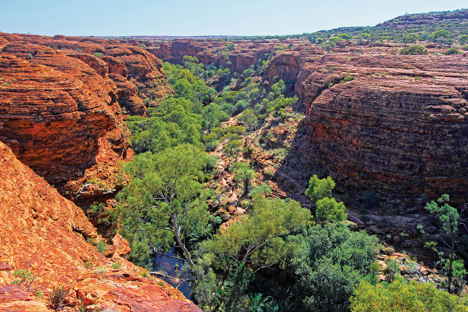
The Northern Territory is blessed with many natural wonders and geological marvels, but few match Kings Canyon for sheer jaw-dropping splendour. It is the central feature of the Watarrka National Park, 330km southwest of Alice Springs. The park embraces one of the most varied and starkly beautiful landscapes in Central Australia, with a geological record beginning around 400 million years ago. The canyon cleaves a buttressed outlier of the rugged George Gill Range in a massive gorge bounded by sheer cliffs up to 300m high.
On either side, the plateau has been sculpted by the elements into a maze of beehive domes of burnished red sandstone, interspersed with rock hollows, and carved by gorges whose cool, shady depths nurture lush vegetation along chains of perennial waterholes. The Luritja Aboriginal people have lived in the region for more than 20,000 years and still constitute the third largest indigenous population in Central Australia.
Bushwalking is the main activity in the park and several well-marked walking trails of differing lengths and difficulty, provide ample opportunity to explore this unforgiving, yet unforgettable, environment. The Kings Canyon Rim Walk (6km circuit) is rated by many as one of the best in Central Australia for its diversity and spectacular views. Camping is not permitted within the park, but a wide range of accommodation is available close to the park entrance at Discovery Parks Kings Canyon, Kings Creek Station and the APT Kings Canyon Wilderness Lodge. Summer is infernally hot and the best time to visit is during the cooler months of April to September.
Murray-Sunset National Park, Vic
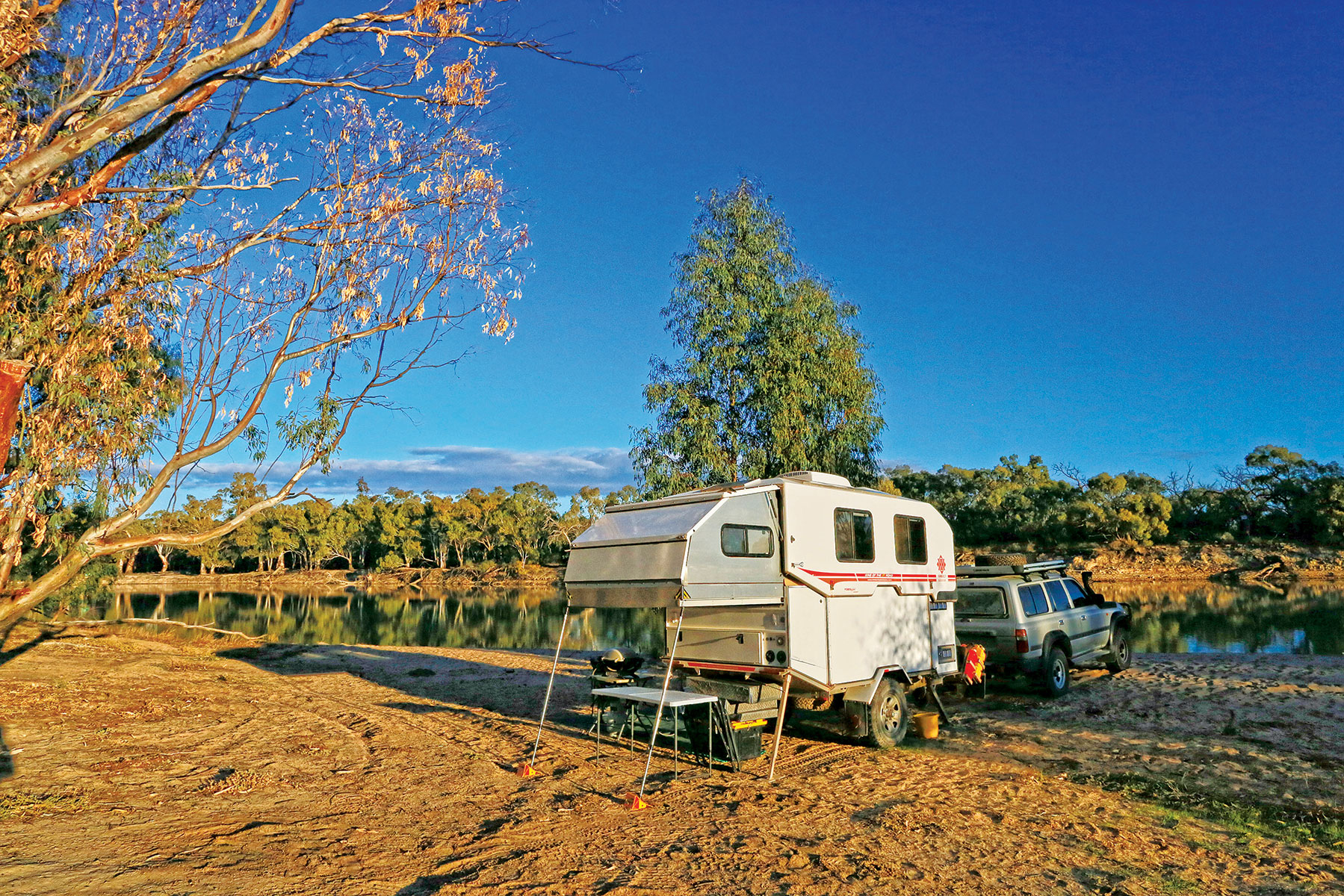
Wedged in the far north-western corner of Victoria, about 550km from Melbourne, is the gloriously remote and relatively untouched Murray-Sunset National Park. At 677,000ha, it is the state’s largest national park and most of it qualifies as ‘outback’, with semi-arid saltbush plains, rolling sand dunes and shimmering pink salt lakes. Small enclaves of the park are also found on the floodplains along the south bank of the Murray River around Lindsay, Mulcra and Wallpolla Islands. Popular activities in the park include birdwatching, photography and boating, fishing and canoeing on the Murray and around the islands.
Eleven camping areas are dotted around the main section of the park, with picnic tables, toilets and fire pits. There are no developed camping areas on the islands, although riverside bush camping is possible at many locations along the Murray. Camping is free and no bookings are required, however campers must be well-prepared and self-sufficient. Alternative hostel-style accommodation is available in the historic shearer’s quarters at Berribee Homestead. Guests should bring their own cooking equipment, linen, firewood and drinking water. Bookings are essential and fees apply.
Mutawintji National Park, NSW
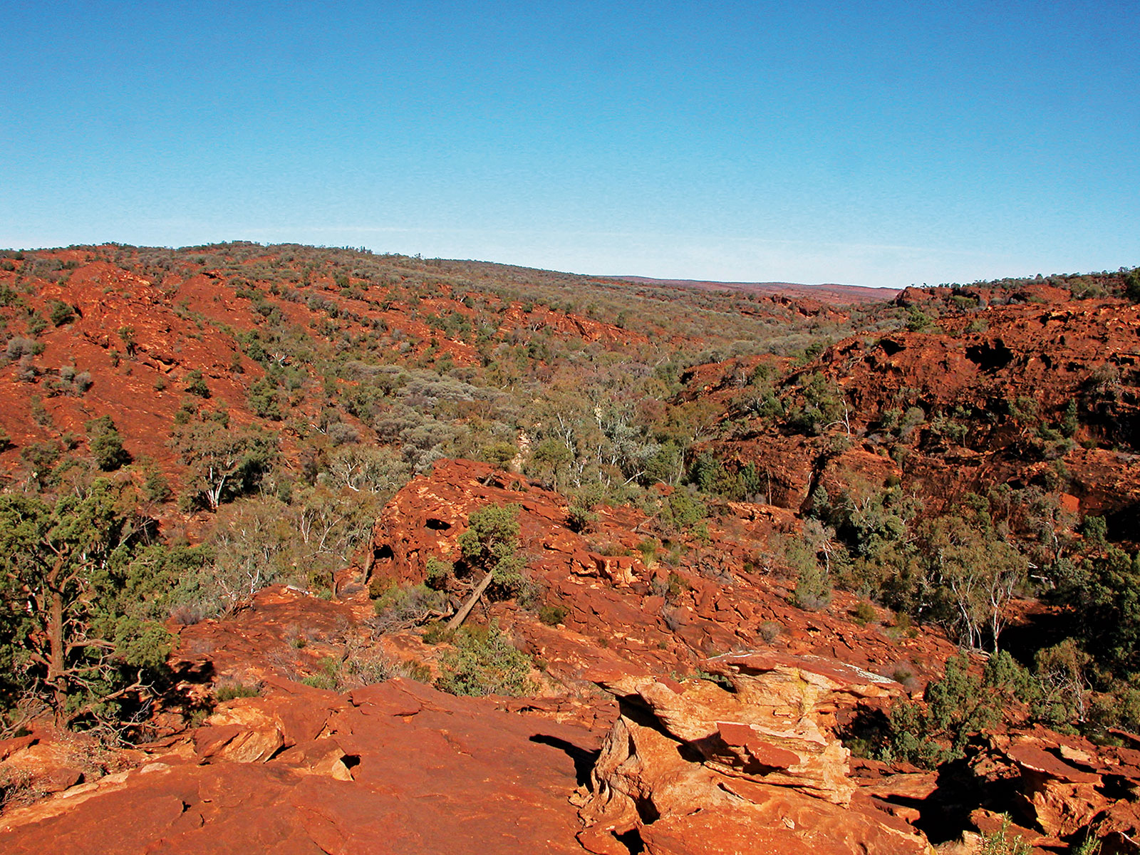
In the semi-arid backblocks of far western New South Wales, about halfway between Broken Hill and White Cliffs, lies Mutawintji National Park — 690sq km of rugged, mulga-clad ranges dissected by sinuous gorges and ephemeral creeks lined with red gums. These are the ancestral lands of the Wiimpatja Aboriginal people who lived here for countless generations before the arrival of white explorers and pastoralists. Evidence of their ancient culture exists at more than 300 sacred sites within the park.
The Mutawintji Historic Site contains one of the most impressive collections of Aboriginal art in New South Wales, with superb stencils and ochre paintings in overhangs and engravings on exposed rocks. Visitors can only access the site with a Wiimpatja guide or a specially authorised tour operator. Many walking trails of varying lengths and standards explore the spectacular gorge riven Byngnano Ranges. A large, open camping area suitable for caravans, camper trailers and motorhomes nestles in a peaceful bushland setting beside Homestead Creek, with picnic tables, barbecues, showers, toilets, fireplaces and water. Bookings are required and fees apply.
THE NEXT STEP
Are you ready to experience the freedom of the open road? Don't wait - Find your dream getaway now!


